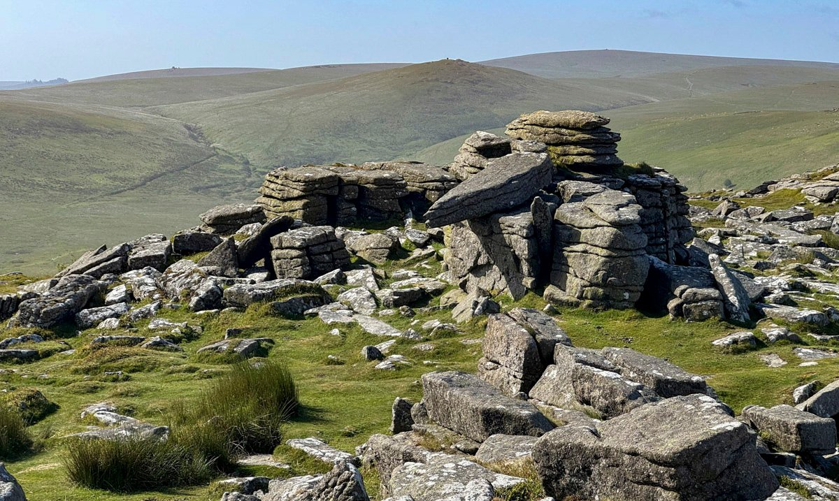
“Cosdon’s immensity is apparent rather than real; for nature has built her, rounded her and ordered her uprising with such cunning architecture that the hill’s dimensions, in their perfection of proportion and balance, imply an amplitude that they do not possess.”
— Eden Phillpotts
As the admirable observation by the local writer Eden Phillpotts suggests, Cosdon Hill is not especially remarkable in terms of its topography, yet its unmitigated bulk long led people to believe it was the highest point on Dartmoor. In reality, its summit stands at 1,806ft (550m), substantially lower than Dartmoor’s true high point, High Willhays, at 2,041ft (622m).
Nevertheless, the eye is easily deceived. Perhaps this apparent grandeur also explains Cosdon’s irresistible attraction to prehistoric communities, for the concentration of ancient remains here is astonishing.
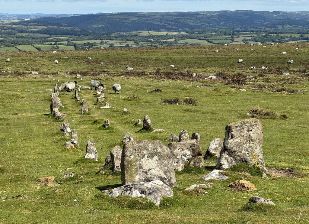
Anyone with an affinity for prehistory will find these moors richly rewarding, and while this solitary hill also conveys the bleak grandeur of the open moor, it lacks one of the landscape’s defining features – tors. These extraordinary granite outcrops provide the focus and drama that elevate otherwise unremarkable walks upon these moors.
This Worthy is therefore a collective representative of Dartmoor rather than a single outstanding landmark. There are more spectacular individual tors, Haytor being the obvious example, and there are certainly more remote corners of the moor, should solitude be your thing. However, this 9-mile (15km) circuit of hill, tors and open moorland captures much of Dartmoor’s essential character.
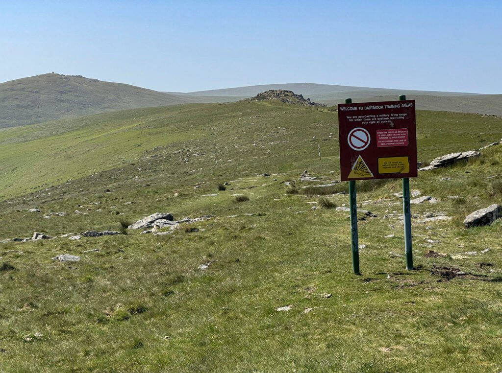
Large areas of Dartmoor are occupied by three military firing ranges, the oldest and largest being the Okehampton Artillery Range, into which a short section of our walk treads. Fortunately, this is also the least intensively used range. Its vast extent allows large-scale military exercises to take place on relatively few occasions, with training currently scheduled on around 112 days each year.
Our exploration commences at the idyllic village of Belstone, already 300m above sea level. Considering that our highest point of the day is only 550m, you might imagine there is little climbing involved. Nevertheless, the circuit still accumulates a respectable 526m (1,725ft) of ascent.
The map below can moved or zoomed in or out to change the scale
Walk through the village, keeping the church on your left, then climb past the waterworks, through a gate and onto the moor. Don’t bear left immediately; instead, take the next path up to the flagpole, which indicates when the military range is in use. All the paths are pleasantly grassy, although not all are marked on the map. Whichever you choose, the objective is to gain the obvious ridge leading to Belstone Tor.
Clambering up the ridge, you can even indulge in a modicum of scrambling by taking the most direct line. This ridge is known as Tors End and is itself classed as one of Belstone’s many tors. Only two are named on the Ordnance Survey map: the summit, Belstone Tor, and the slightly lower—but more spectacular—Higher Tor to the south, whose huge eastern face Dartmoor writer Eric Hemery likened to “Cyclopean masonry”.
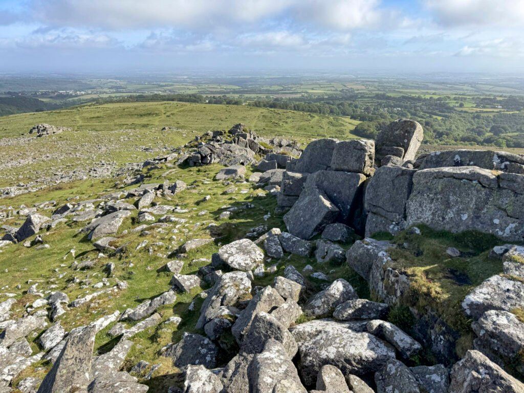
Many Dartmoor hillsides beneath the tors are strewn with boulder fields created by the weathering of granite. These are known locally as clitter, of which the 1895 book An Exploration of Dartmoor observed: “The eye is bewildered by their picturesque disorder.” Belstone Tor possesses clitter in abundance, suggesting that its many tors were once far larger than those seen today.
This naturally raises the question of just how many tors there are on Dartmoor. The answer depends upon what you choose to call a tor, for no universally accepted definition exists. Around 160 are recognised as major named tors, while the National Park Authority claims there are more than 365. The excellent website Tors of Dartmoor lists hundreds more, although some would perhaps be better described as significant rock outcrops than accepted tors.
The views from Belstone Tor are magnificent, with our entire circuit laid out ahead, sweeping round to the broad pudding bowl of Cosdon Hill. The surrounding landscape is punctuated by granite outcrops, including Yes Tor, the highest tor on Dartmoor, rising just a few miles to the south-west. More on that later.
A curious wall is encountered between the summit and Higher Tor, known as Irishman’s Wall. There are numerous theories as to why it was built, although it is generally accepted that Irish labour was employed in its construction. The most likely purpose was to enclose land for agricultural improvement during the early nineteenth century.
There is also a widespread belief that the wall was never completed, having been intended to extend beyond the 0.8-mile straight line that traverses the Belstone ridge. Eric Hemery described it as “an abortive, laborious token of enclosure.” Indeed, many believe that local opposition gathered to demolish the wall after it had been partially built, discouraging the Irish labourers from completing the task.
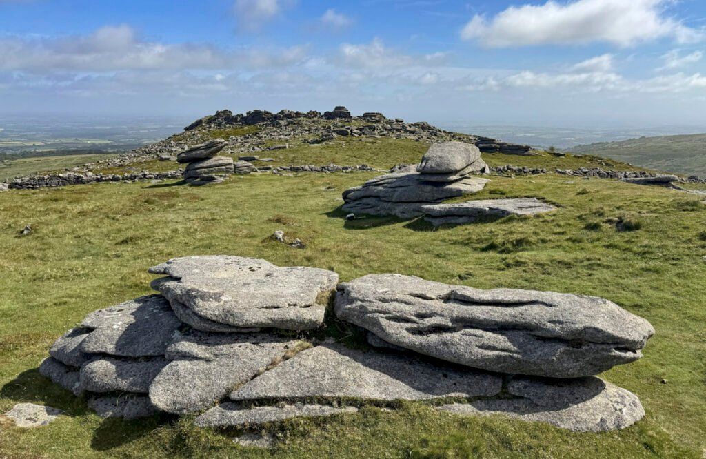
Keep an eye out, too, for two Logan Stones, another characteristic feature of Dartmoor. The name describes rocks that have become detached through weathering, allowing them to be rocked—or “logged”, in the local dialect. Careful examination around many of the tors will also reveal partially cut millstones, for these granite outcrops were once extensively quarried.
With so much of interest hereabouts, Belstone Tor may occupy considerable time. When you are ready, continue towards Oke Tor along another generally dry path. Dartmoor is, of course, renowned for its bogs, and some of these will be encountered later—this is a Dartmoor walk in a nutshell, after all!
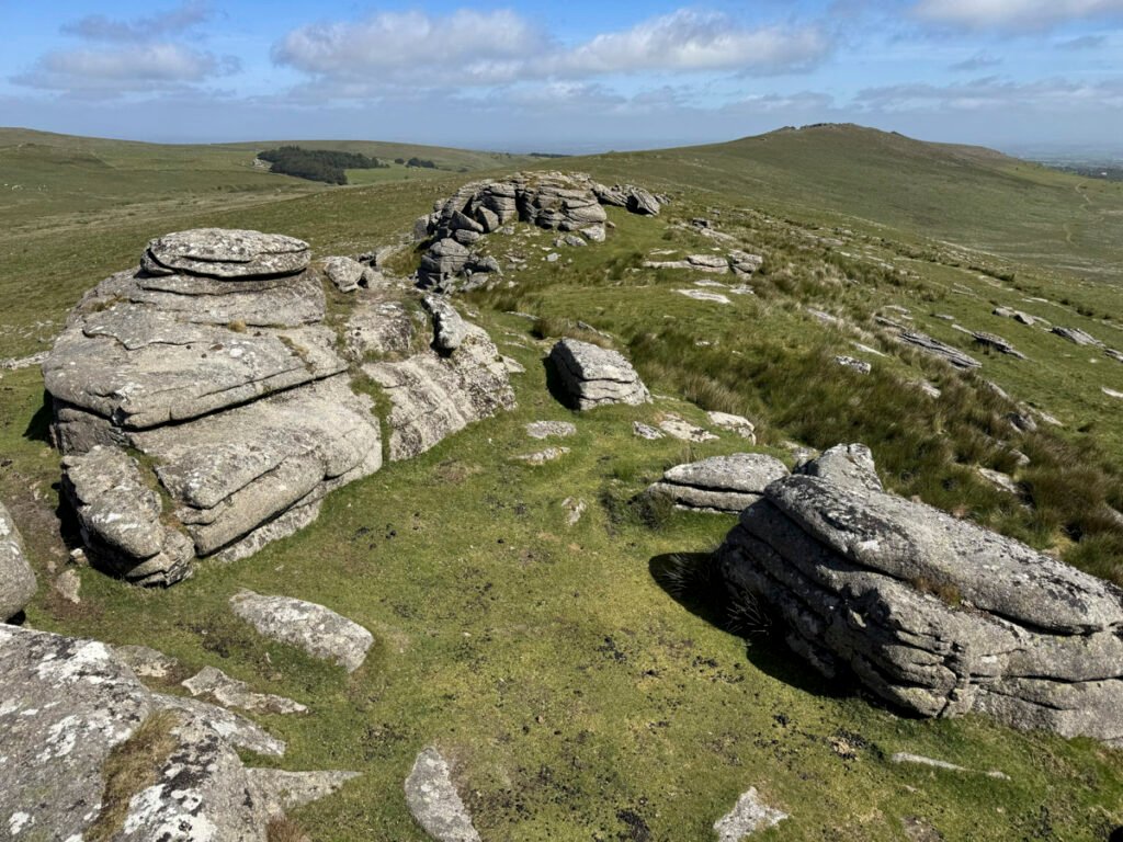
Oke Tor actually comprises three tors, the southernmost being the largest. Their characteristic horizontal jointing has weathered into an array of flamboyant shapes. Oke Tor lies just within the Okehampton Range, where a military shelter also serves as a watch station to intercept unwary walkers.
The next objective is Steeperton Tor, distinguished less by its modest summit tor than by a conspicuous military hut and flagpole, Steeperton again lying just inside the range boundary.
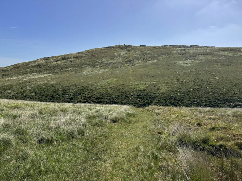
As promised, the path becomes progressively damper beyond Oke Tor until a military track is reached, although even this can harbour sizeable puddles. From its highest point, a direct route drops into Steeperton Gorge before climbing the opposite side. The path crosses the stream directly and, after heavy rain, may involve at least one partially immersed foot.
Dartmoor is home to the magnificent Lydford Gorge, so when Steeperton Gorge first appears on the map, one might anticipate something equally impressive. Reality, however, is a disappointment, for this is little more than a shallow valley. A drier, albeit longer, alternative follows the military track across the upper reaches, from where the walker can double back to Steeperton Tor. Those still in search of extra tors could also make a short diversion to Wild Tor.
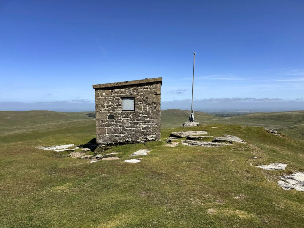
Despite the distasteful MOD furniture, Steeperton Tor has a reasonably remote atmosphere, especially when looking south to Hangingstone Hill, the highest point of the immediate moors. Again, if you have an extra hour to spare, you could have remained on the military track further, toward Hangingstone, before returning over Wild Tor.
Our nutshell route now turns toward Hound Tor. There is a far more famous Hound Tor on Dartmoor and this one is apparently known locally as Round Tor, which if widely adopted would avoid any confusion. It also isn’t much of a tor, the summit merely consisting of exposed granite slabs.
Hound Tor is reached by a fairly direct, green path from Steeperton via a shallow col, where damp may lurk in wetter seasons.
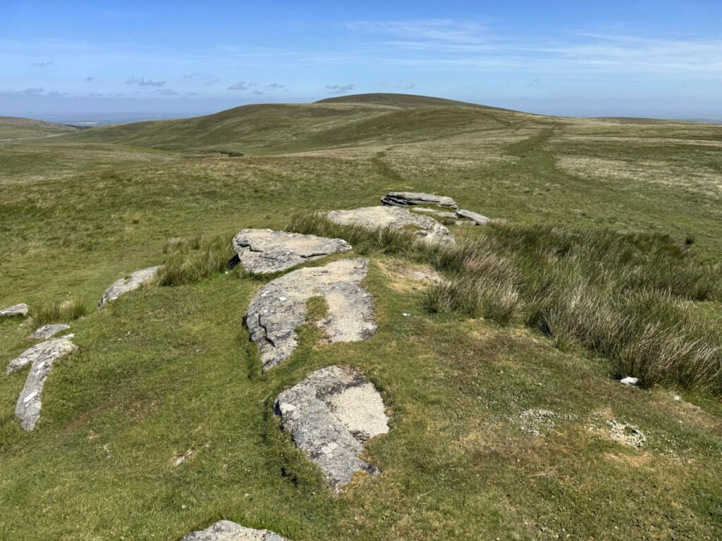
We are now looking towards the looming bulk of Cosdon Hill, with just one more top in between. This is Little Hound Tor, a minor eminence, which exhibits no tor at all. Really it should be called Little Whit Hill, which gives its name to a number of prehistoric features in the vicinity.
Put on your antiquarian hat and wander on to the Whit Moor stone circle, exhibiting 18 stones and comprising one of 14 stone circles on Dartmoor. It may not be the largest, but it is the highest of Dartmoor’s stone circles and one of the most remote, despite clearly lying at the heart of this once-busy prehistoric landscape.
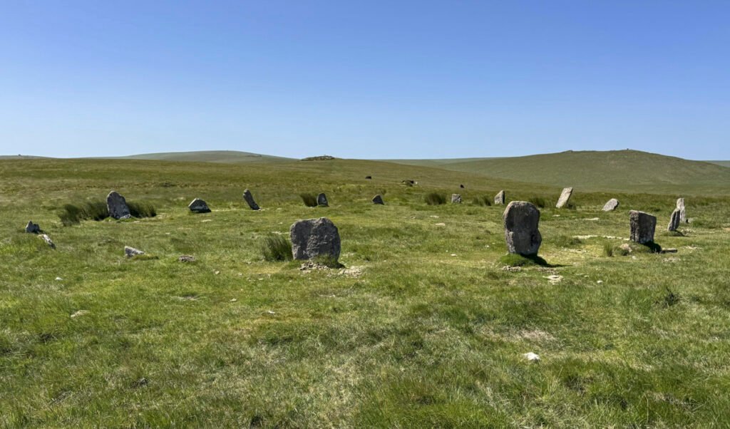
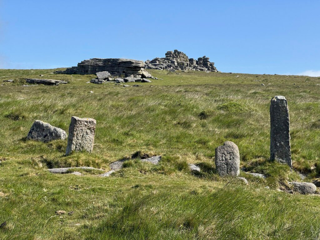
Close by is the 5-foot-high Whit Moor Stone, a menhir – an upright standing stone – repurposed as a boundary marker, inscribed with DC (Duchy of Cornwall); TP (Throwley Parish); ST (South Tawton); and T (Tawton).
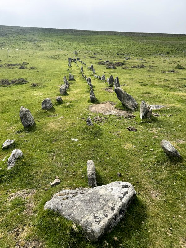
To view the most striking prehistoric monument on Cosdon Hill there is an option to follow the initially sunken path northeast for a mile or more down to the Cosdon Stone Row. From there it’s then a direct, steepish ascent to the top of the hill. Otherwise do as I did and reserve this visit for a separate, short walk from the road below. The stone row is remarkable, being one of the rare triple rows, some 447ft in length. Like most things prehistoric, we can only speculate as to its purpose.
Otherwise, walk on, over Little Hound Tor towards Cosdon Hill. This is just a simple moorland walk, with the path becoming drier with altitude. Due to the convex nature of the terrain, the summit does not appear until the last moment, although it does so with an archaeological flourish, immersing the visitor in ancient history.
The top formed an extensive Bronze Age cemetery, consisting of five major burial cairns, running roughly south to north and of different constructions, suggesting it was in use over a long period. The main summit mound is 80ft in diameter and 10ft high. It is also adorned by an OS trig pillar and some of the stones have been plundered to build walkers’ wind shelters.
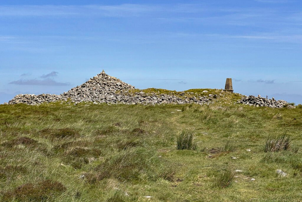
Cosdon Hill is undoubtedly amongst the most significant prehistoric sites in Britain. There are literally hundreds of remains, within 46 separately catalogued monuments, from hut circles and field boundaries to the burial cairns, stone rows and stone circles. In amongst all this is one of those unrecorded tors on the map, mentioned earlier, situated on the western flank of Cosdon Hill; it bears the wonderfully descriptive name of ‘Flock o’ Sheep Rocks’.
To make our descent we head to the northern cairn, a burial mound topped by a modern pile of stones. The path beyond is most pleasant and clear to follow. Halfway down, the track bears left almost horizontally. There is a higher and lower choice of paths. Either will do.
Cosdon Hill has a commanding presence and, when approached from Belstone, its convex slopes conceal any real sense of progress. It is easy to understand why generations believed this was the highest hill on Dartmoor as any ascent from this direction seems never ending!
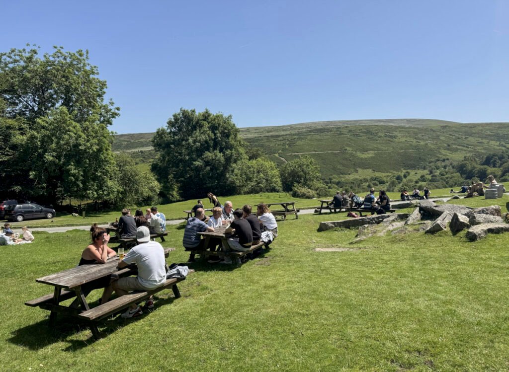
The final approach back to Belstone is a delight, particularly on a sunny day, offering an entirely different aspect to the walk. Within little more than an hour, the bleak openness of Dartmoor has given way to green meadows and one of the prettiest villages on the northern moor. Few walks illustrate Dartmoor’s remarkable contrasts quite so completely. And, you can even paddle in the river at the end.
Worthy Rating: 67
Aesthetic – 19.5
Complexity – 12
Views -14
Route Satisfaction – 14
Special Qualities – 7.5
AND WHILE YOU ARE THERE…
Many people will need to travel a long distance to Dartmoor, and the lure of a single Worthy (even though it involves six summits) may not be sufficient incentive, even for a Worthy bagger (should such a pursuit ever exist). However, there are dozens of other hills and tors that deserve your attention, although in the immediate area to Belstone, the natural add-ons are Dartmoor’s highest tops – High Willhays and Yes Tor.
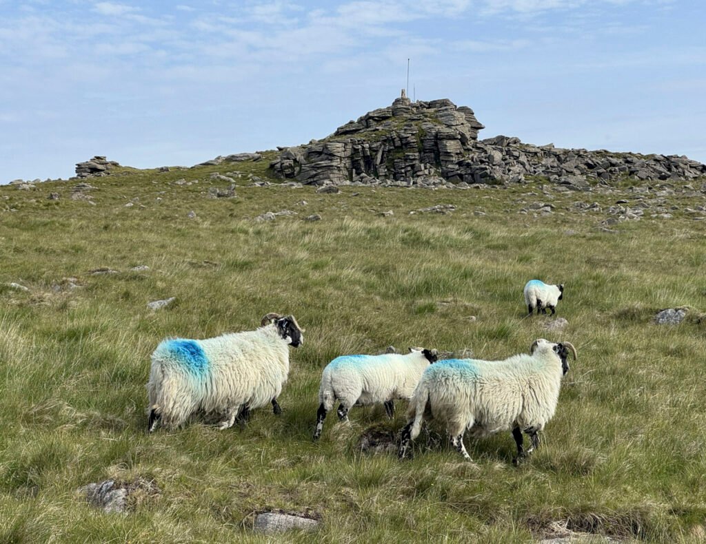
These hills are commonly climbed from the Meldon Reservoir to the east, although to maximise the tor tally, an approach from the moorland car parks above Okehampton Camp (or even Belstone) is preferable. This affords the advantage/disadvantage of military tracks, which provide convenient access, whilst also sanitising the wilderness experience. The main track is even locally known as the Yes Tor Road.
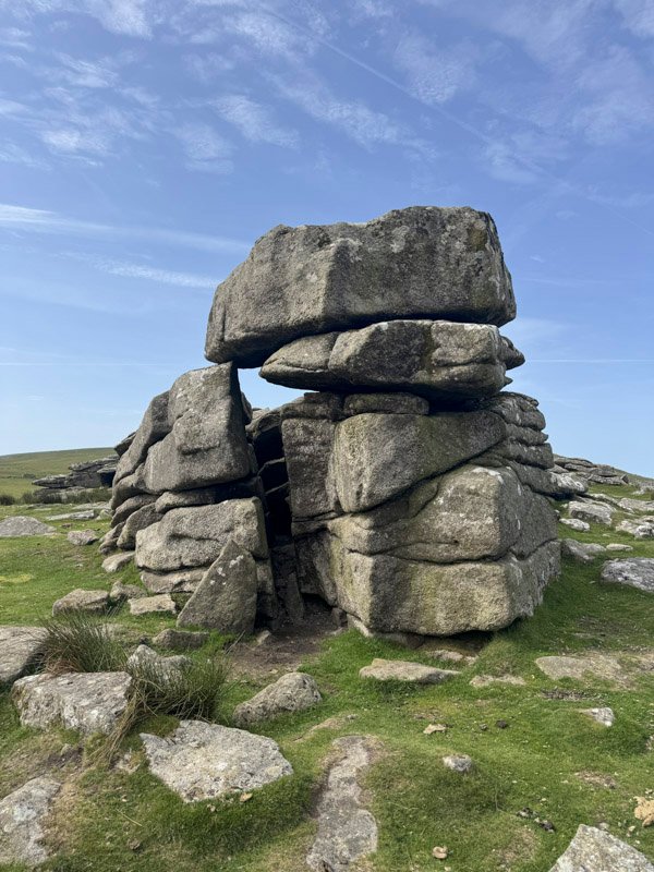
A representative stroll for a few hours commences from the large layby at SX 59642 91967. A short ascent directly to Rowtor begins in fine style, the summit being distinguished by several fine tors. Rowtor is sometimes spelled Rough Tor, in common with its better-known Bodmin Moor relation, although both are pronounced the same way.
There is barely any descent before the rise to the imposing West Mill Tor, which exhibits much clitter on its eastern side, and requires negotiation on your ascent. The subsequent col, between West Mill and Yes Tor is the dampest part of this outing, although firm footing is soon regained on the climb above.
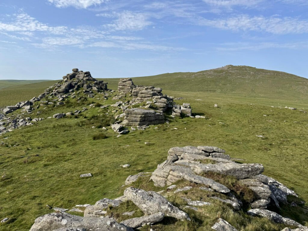
Whilst not the highest point on Dartmoor, Yes Tor is undisputedly the highest tor on the moor, and exudes an aura of authority. This notability naturally drew the military; the top being surmounted by a flagpole, and with a hut constructed at the foot of the rocks. The Ordnance Survey also chose the tor for their triangulation point, rather than the marginally taller High Willhays. This location was considered so prominent that it was the only one of the original “primary” trig pillars to be erected on the northern half of Dartmoor.
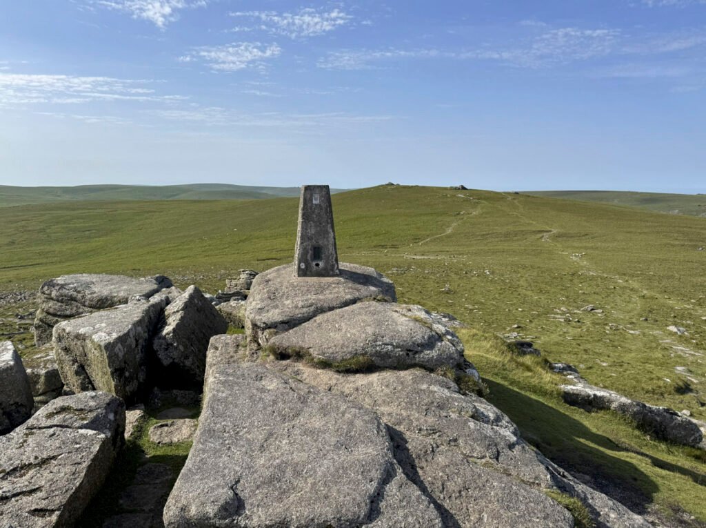
And before all that modern history, Bronze Age man was here too, constructing two burial cairns, later plundered by treasure hunters, or as a ready quarry for stones.
Standing imperiously upon the lofty rocks of the summit tor, it becomes clear that Yes Tor and High Willhays are simply two ends of the same hill. Yes Tor, being the more commanding was naturally thought to be the highest point until OS surveys gave the “Roof of Devon” prize to the ponderous ugly sister.
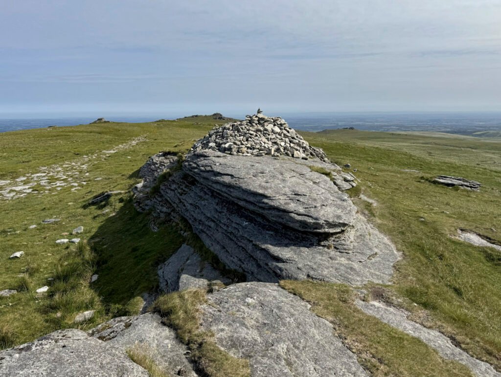
A gentle ten-minute stroll leads from one summit to the other, where you stand on the highest place in southern England. This may be simply marked by exposed slabs rather than a towering granite monolith, but visitors have attempted to signify the status by constructing a surprisingly large cairn.
The name of the hill is curious, High Willhays, as indeed is Yes Tor, however, there is no conclusive evidence as to the etymology of either, only suggestions.
There is an extensive view to the south and the west over the wilderness heart of the Dartmoor Forest. It is hardly attractive, although it is adventurously compelling. Close at hand is the Belstone round, our designated Worthy, admittedly not appearing all that aesthetically inspiring from this angle!
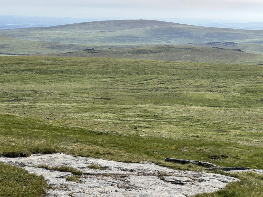
Nonetheless, Dartmoor deserves its place on the Worthy list, not simply because it contains the highest ground in southern England, although that undoubtedly adds to its appeal. Rather, it is the unique combination of wild moorland, rugged tors, extraordinary prehistoric remains and an atmosphere that is at once bleak, exhilarating and timeless. Few places illustrate so clearly the relationship between landscape and people over thousands of years, and it is this remarkable diversity that makes Dartmoor worthy of its status as one of Britain’s finest National Parks.
Here are two very useful websites to enjoy for further information: