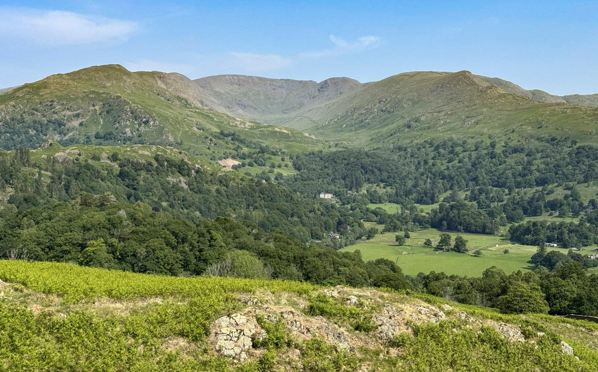
Fairfield harbours a secret. Unobserved by the majority who stroll its favoured southerly horseshoe circuit is a forbidding north face cast in seemingly perpetual shadow.
Mountains that exhibit such profound contrasts are something of a Lakeland speciality; a prime example evinced by Fairfield’s illustrious neighbour Helvellyn. However, what distinguishes Fairfield from the generality is that its rugged treasures are not its most widely lauded attributes.
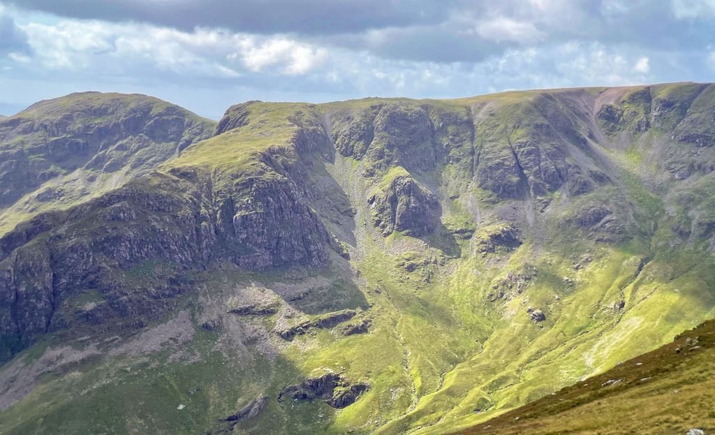
In its early life as a fellwalking attraction, Fairfield languished in the low ranks. Wordsworth lived at the mountain’s foot for decades, yet afforded it few lines in print. A century later, the esteemed Canon Rawnsley of National Trust foundation fame wrote in 1911 “there are few mountain heights in the neighbourhood of Grasmere that seem to attract the ordinary tourist less than Fairfield”, nevertheless, he followed that up with “but there are few more rewarding”. Wainwright provides the answer to Fairfield’s meteoric rise, through a resurgence of interest in fellwalking following the war. Fairfield offered an easily accessible mountain walk where eight summits could be included on a circular outing, something that is simply irresistible.
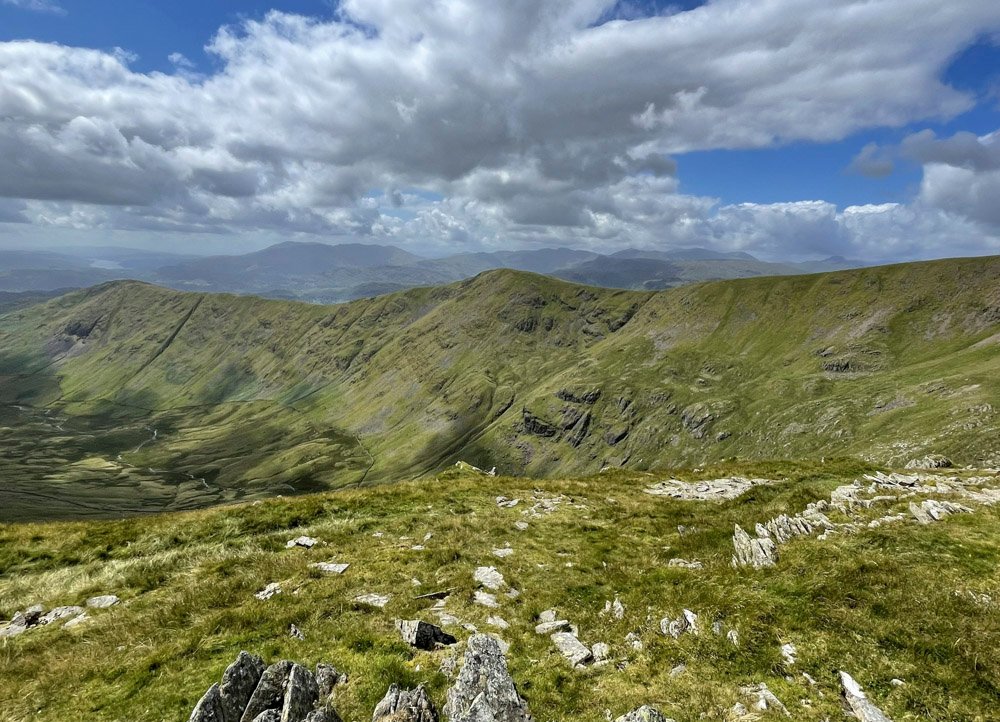
It was certainly this accessibility that was the major attraction for me as a schoolboy, who could take advantage of the regular bus route that tickles the toes of the fell. One particular winter’s day, myself and a friend chose to boost our mountain survival techniques by ascending from Grasmere to the summit slopes and digging a snow hole. I am pleased to report that our burrowing was successful and we passed a comfortable night, ensconced in shelter while the wind whistled and the mist swirled outside the tunnel entrance. As dawn broke, we emerged to a dramatic temperature inversion; the valleys overflowing with a sea of blanched cloud and the high peaks piercing through to draw lungfuls of bracing air. Whatever Fairfield has thrown at me since, this experience persists as my entrenched memory.
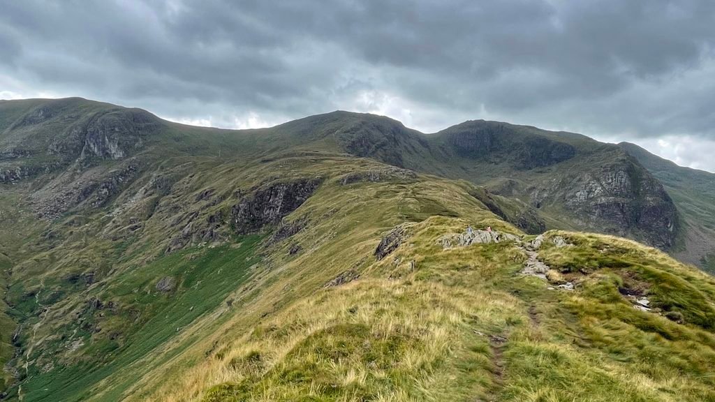
Crucially for this essay, Fairfield is not an individual; it is merely the highest point of a many-limbed massif, and not solely confined to those eight tops identified by the customary horseshoe walk, as the mountain spreads further arms to the north, boosting the summit tally well into double figures. Principally, our Fairfield Worthy includes the ground east of Tongue Gill and the Grisedale extension north to Patterdale, plus the westward swathe from Scandale crossing the pass into Caiston Beck. Sorry Red Screes but you are excluded; the line must be drawn somewhere.
Fairfield Horseshoe
The ten-mile circuit encloses the deep valley of Rydal Beck, the valley bearing no official name on OS maps, although historically it was referred to as Rydale. Few people walk its length, the tedious exit up the steep slopes of Rydale Head being a formidable deterrent, although thousands gaze down into the valley from the heights.
Of the ridges, that leaving Rydal village is the most direct, and is where we shall commence our initial ascent. Rydal is little more than a hamlet, a timeless Conservation Area, little altered for over two hundred years since William Wordsworth leased his fine home, Rydal Mount, from the Le Fleming family, Lords of Rydal. Their main seat was Rydal Hall, which since the 1990s has been a Christian retreat. Both properties can be visited.
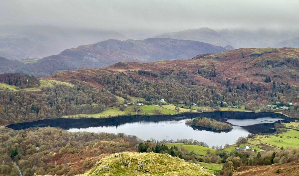
Nab Scar is our first summit, reached by a much-improved path made necessary due to the immense popularity of the fell. After a steep section, arriving at around the 1100ft contour, close to the path is a stone block that marks the position of the Thirlmere-Manchester Aqueduct, which flows through a tunnel several hundred feet below your boots1.
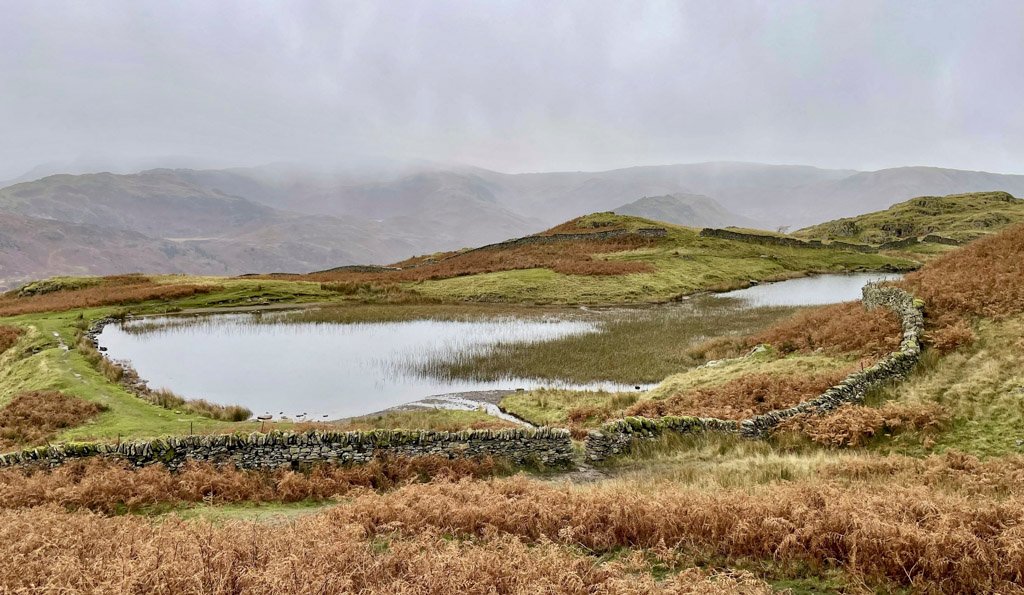
As a distinct fell, Nab Scar cannot really justify independence, displaying just a 2-metre prominence over the rising ground beyond. Even Wainwright described it as “not a separate fell… merely the butt of the long southern ridge of Fairfield”. The summit has never carried a name nor a spot height on OS maps.
The subsequent Wainwright of Heron Pike, less than a mile’s gentle stroll beyond, is a similarly questionable inclusion. The summit was long unnamed, although the OS have consistently marked two spot heights on Rydal Fell, to which they attribute much of Fairfield’s southerly arm. Furthermore, the accepted summit of Heron Pike is its southern top, although the northern top is more attractive and 30ft higher2.
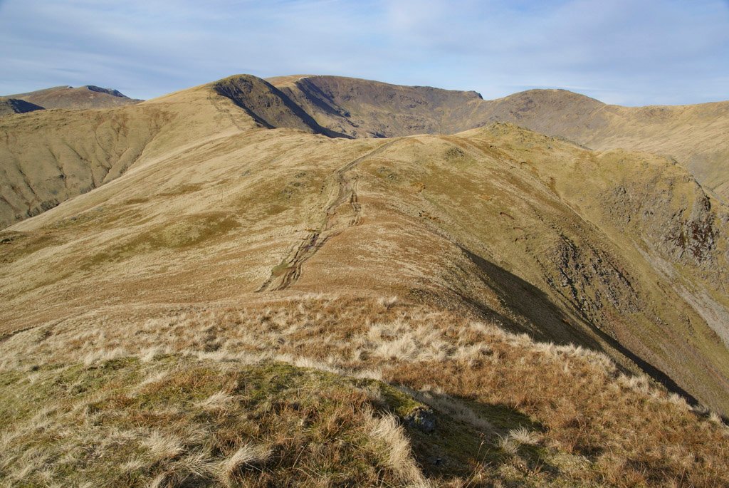
The following mile is virtually horizontal before Great Rigg increases the angle of the slope, to make it feel like the first real summit. Adding further distinction is the adjoining ridge coming up from Stone Arthur. From many angles Great Rigg appears conspicuously domed, although on closer acquaintance it is surprisingly flat. Maps proudly announce the presence of Greatrigg Man, so the walker might expect a shapely summit cairn of some repute, but sadly it never was, and has seen better days, being rather an untidy mess. It never was tall and elegant, although in Wainwright’s day it was at least neat and conical.
The view is inspiring, especially to the west, and deserves some attention before the final mile ascends painlessly onto the broad plateau of Fairfield.
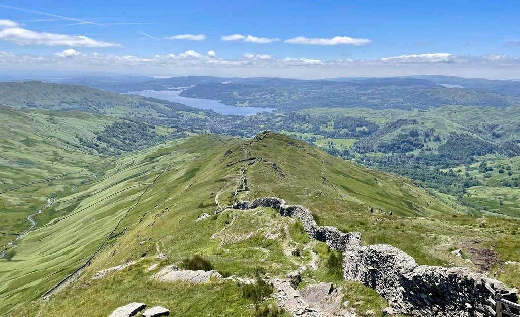
The High Pike ridge approach to Fairfield is the longer half of the horseshoe, leading directly to Dove Crag before curving round over Hart Crag. The first summit is Low Pike, followed naturally enough by High Pike, both commanding a fine presence from the south and providing a most enjoyable walk. The ridge commences as relatively broad and shallow, but progressively narrows and steepens at the final pulls to each summit.
There are two striking features of the ascent; one being the sublime prospect along the full reach of Windermere; and the other is a close encounter with one of the finest drystone walls known to man, which resolutely adheres to the watershed and surmounts every obstacle with fortitude.
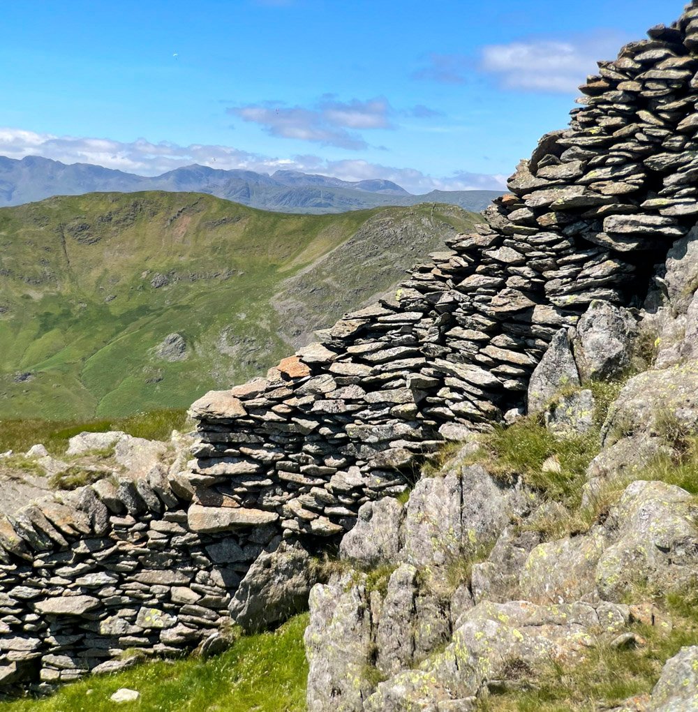
The wall traverses the highest points – on Low Pike leaving little room for anything else. High Pike from below promises equal economy of space, but startlingly it provides the reverse. Suddenly the ground flattens and there is barely one-metre of prominence on the summit over the lazily rising ridge beyond.
At this point we are reminded of Harry Griffin’s opinion of Fairfield… “seen from the south (it is) a dull grassy hump of a fell”, and indeed for us the excitement is now over for a while. The Fairfield horseshoe is one of the most popular day-walks in the Lake District, but its quality is not sustained. However, fear not because Harry goes on to say “but, from the north, a long line of high crags, gullies and wild fellside, overhang the solitude of Deepdale”.
For many on the horseshoe, they won’t even see this aspect if they stick to the path wearing blinkers, crossing Dove Crag and Hart Crag before joining the throngs from Rydal on the expansive plateau.
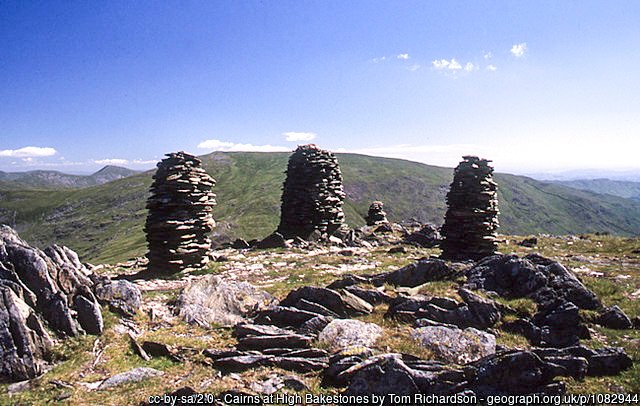
Nevertheless, for those just leaving High Pike, a rewarding diversion can be incorporated by wandering over to the prominent tall cairn on High Bakestones.
Otherwise, we cross Dove Crag summit and continue along the great wall – which becomes rather less great in stature – until it terminates just at the upper rise to Hart Crag. Curiously, the old maps confirm that it has always done so.
Fairfield Summit
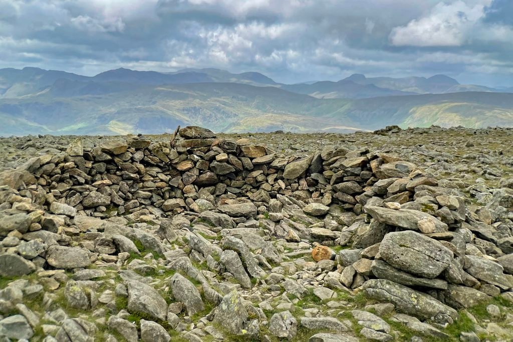
Hopes will be high upon arriving at the summit, as long as you have not been dashed by reading Wainwright’s summation, “Fairfield is a sprawling maze of high ground with no grace of outline and a summit so lacking in immediate interest that only the distant views encourage a leisurely halt”. Mountain Worthies takes exception to the “no grace of outline” as Fairfield is distinctly recognisable, although we concur with the summit’s nondescript composition. The most obvious features are man-made and consist of an abundance of cairns that do more to confuse than instruct in misty conditions.
The summit is a tableland and from here arises the most likely derivation of its name. In 1671 the owner of the mountain wrote “A little Northwd of Rydal-Hall is a very High Mountain called Rydal Head, on ye Top whereof is very fair and level Ground called ye Fair Field…”. In 1787 James Clarke’s map labelled it as Fair Field Mount and by 1801 Dorothy Wordsworth was comfortable simply calling the fell Fairfield. The alternative later derivation comes from the Norse for ‘sheep fell’ and indeed this idea was endorsed by Rawnsley, but as Sir Daniel Fleming actually owned the mountain his account perhaps bears more weight.
In praise of the north
If Fairfield was no more than its horseshoe, you would not be reading this article as this undeniably popular mountain would not be on our list of Worthies. However, it is, and raised to higher regard due to its northern slopes, although few people ascend the mountain by its actual north face. But they could and it is a hugely rewarding experience.
For those on the horseshoe, they can gain an appreciation of these glories with minor off-piste manoeuvres. From the summit, a short step to the northern rim reveals the scene of grandeur, and from the top of Dove Crag the alarming plunge of its eponymous precipice can be gingerly observed, rather than following the main path through the lacklustre summit environs.
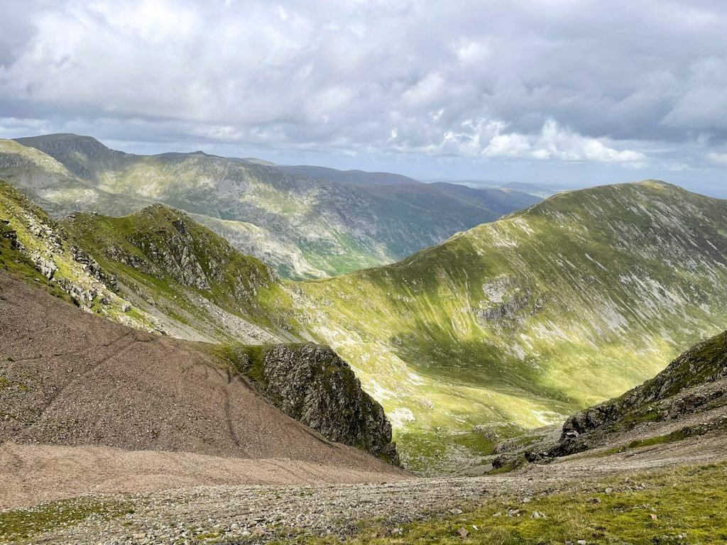
The rugged northern face of the massif is extensive and well-appreciated by those ascending from that direction, be that over St. Sunday Crag; the lonely valley of Deepdale; along the extended ridge of Hartsop above How; or through the intimate sanctuary of Dovedale. Fairfield becomes an entirely different proposition than that presented from its southern aspects.
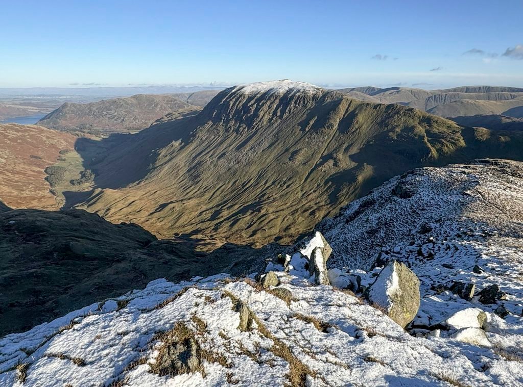
St. Sunday Crag is a mountain revered by fellwalkers as much as Fairfield, and to combine both is to double the enjoyment. As for its enchanting title, there was no Saint Sunday and any links to other saints are tenuous, so the name remains a mystery. In many ways the views of it and from it are the best aspect of St. Sunday. The north face of Fairfield is particularly awe-inspiring from the adjoining summit of Gavel Pike and the eastern ramparts of Helvellyn are on parade throughout. And from the Helvellyn ridge, the uninterrupted plummet of St Sunday’s northwestern flank is breathtaking.
St Sunday is linked to Fairfield by the subsidiary peak of Cofa Pike, where a narrow section of ridge rewards with light scrambling. Cofa Pike is another unconventional and obscure name, although it may have been influenced by the indecipherable local dialect. Cofa was formerly known as Cawkhaw Pike, a name that survives in Cawk Cove below3.
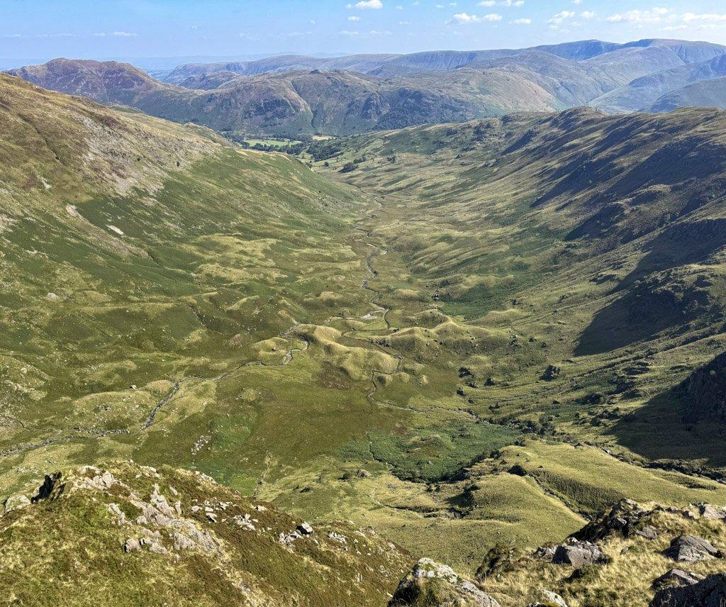
True explorers will relish the approach via Deepdale, a treeless, barren and forgotten valley. An obvious though hardly overdeveloped path makes its sequestered passage into the depths, Fairfield’s savage north face looming closer with each step. Dominating the scene is the great prow of Greenhow End, which is a means of ascent for the intrepid.
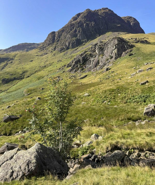
Wainwright described it as for scramblers only, but he was exaggerating as the use of hands is barely required, unless you wish to tackle the Light-coloured slabs, which are easy-angled grade 1 country. Otherwise, follow the grassy rakes, first slanting right, then left. Once above the major crags move right to the edge, to enjoy intimate scenes of the wild coves.
Greenhow End is a dramatic route that will satisfy your pioneering instinct and is a place where very few people ever tread.
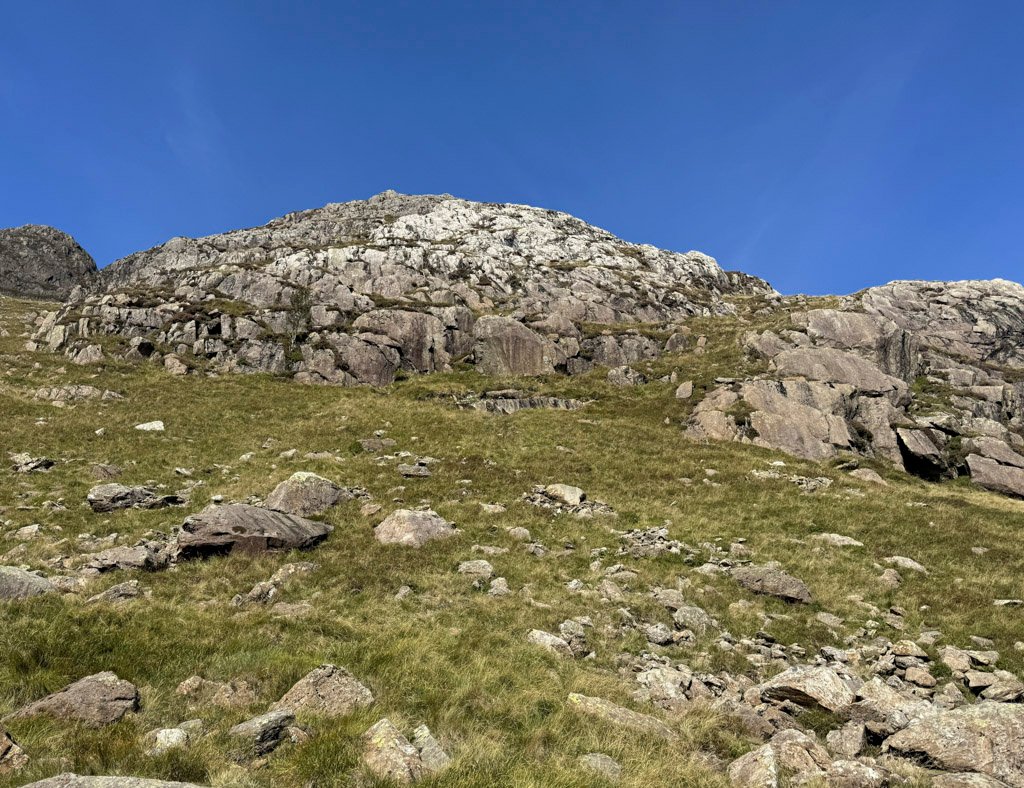
Hartsop above How is basically the long northerly arm of Hart Crag and separates Deepdale from Dovedale. Dove Crag is the commanding influence of the latter, although for those on the Fairfield Horseshoe, the mountain is no more than a tick off the list. To miss the fearsome crags and indeed the secretive atmosphere of Dovedale itself is scandalous.
There is a cave high up on Dove Crag that in modern times has become a very popular visitor attraction as an almost rite of passage overnight wild camp. It is known as Priest’s Hole, although for no persuasive reason. Wainwright never mentioned it, although climbers occasionally made use of it as a convenient bivvy. These days, social media has made it a destination in its own right.
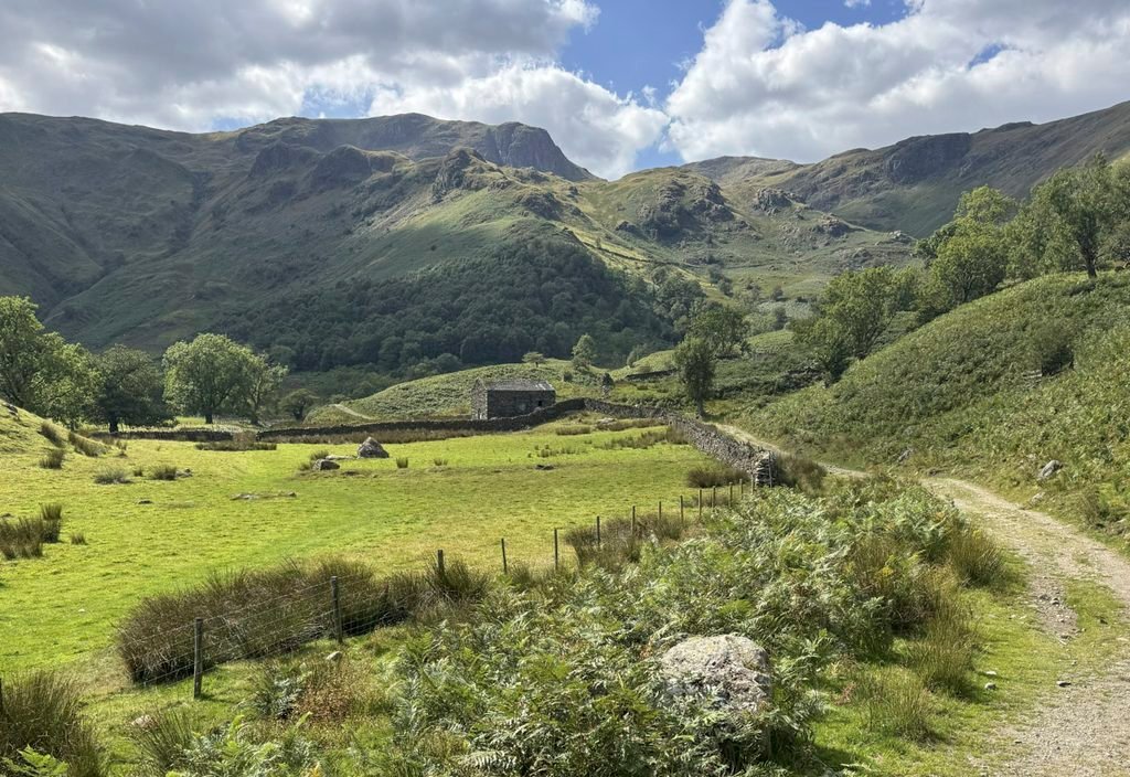
In some ways it is fitting that we conclude our exploration of this massif on the crags above Dovedale. In what is ostensibly a website feature about Fairfield, the mountain is merely the figurehead for a wider range of connecting fells, of which the collective star attraction is their northern aspects. If you climb the mountain by these rugged and quieter approaches, you will climb Fairfield the Hard Way, and most definitely the Worthy Way.
Footnotes:
1. The Nab Scar tunnel is over three-quarters of a mile long and water flows purely by gravity at a stately walking pace of 3-5km/hr, transporting around 200 million litres a day. The building of the aqueduct was fiercely opposed both by the Flemings of Rydal Hall and John Harward of the Hollins, Grasmere. The latter refused to accept compensation and eventually the entire estate was purchased by Manchester Corporation.
2. Canon Rawnsley knew the summit as Heron Pike, although he confidently asserted that this was a linguistic corruption from Ern Pike, presumably an earlier name, which in turn was also (presumably) named after Erne Crag on the Rydal slopes below.
3. Cawk is an old northern name for barytes, although there is no evidence of mining here.
Worthy Rating: 74
Aesthetic – 21.5
Complexity – 15
Views – 16
Route Satisfaction -14
Special Qualities – 7.5