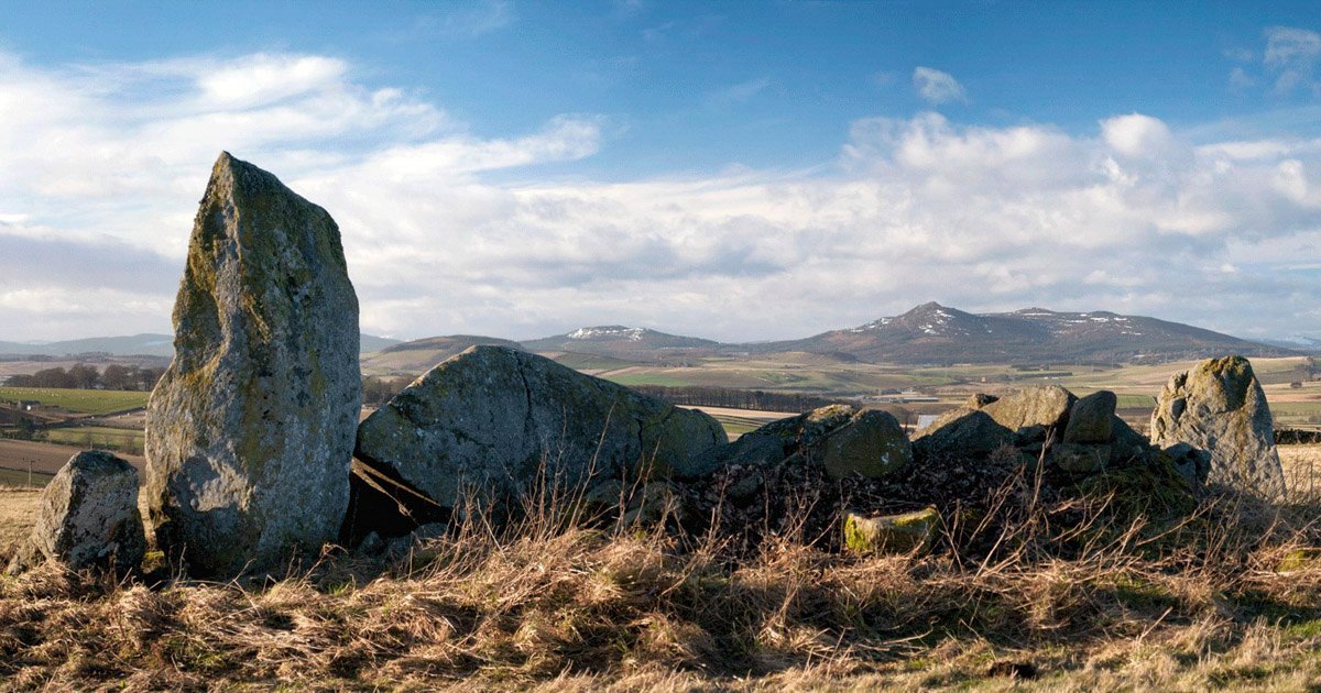
Bennachie (Ben-ah-hee) is an extraordinarily endearing eminence in the north east of Scotland. Its distinctive profile exhibits many attributes of a true mountain despite its diminutive size, and the hill provides a feeling of perceived wilderness in complete contrast to its ease of accessibility. Bennachie is by far the most compelling prominence within the convenient radar of Aberdonians and has long been a favoured outing.
Even as long ago as 1890, Alexander McConnochie wrote a book specifically about Bennachie, declaring “there is no mountain in Aberdeenshire or indeed in the north of Scotland – better known or more visited than Bennachie”. He claimed that thousands were visiting annually. Almost a century before, there existed an organisation called The Bennachie Club of whom little is known, although, as recorded by the Aberdeen Journal in 1808, the club advertised a meeting at Mither Tap to be followed by a meal nearby. And no, that was not the Mither Tap public house in the centre of Aberdeen!
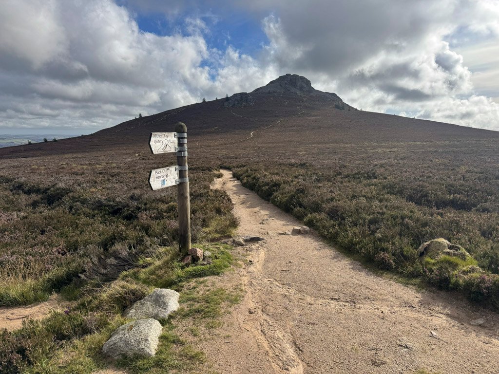
The sustained intensity of visitor pressure eventually began to take its toll on the hills, although such was the adoration for this beloved landmark that to combat erosion, litter and vandalism, a charitable group was established in 1973 as The Bailies of Bennachie, volunteer guardians who protect the environment through maintaining footpaths, preserving flora, fauna and cultural features, and encouraging public sympathy for the hills.
Bennachie is not a single summit but a group of several tops, or more correctly taps as they are locally named. The hill was sufficiently important to feature on Robert Gordon’s 1654 map of Aberdeenshire and printed as Benachie. This became Beinn na Ciche on the early Ordnance Survey maps of the 1860s.
The map below can be moved around or zoomed in and out to change the scale
Beinn na Ciche – the hill of the paps – is particularly descriptive for the granite summit tors, especially that of the dominant Mither Tap, long thought to be the highest summit until OS surveys established that accolade belonged to Oxen Craig. Nevertheless, Oxen Craig at 1736ft (529m) is hardly of significant altitude, however, with the collective taps of Bennachie, it is the unique atmosphere of these hills that rewards the explorer.
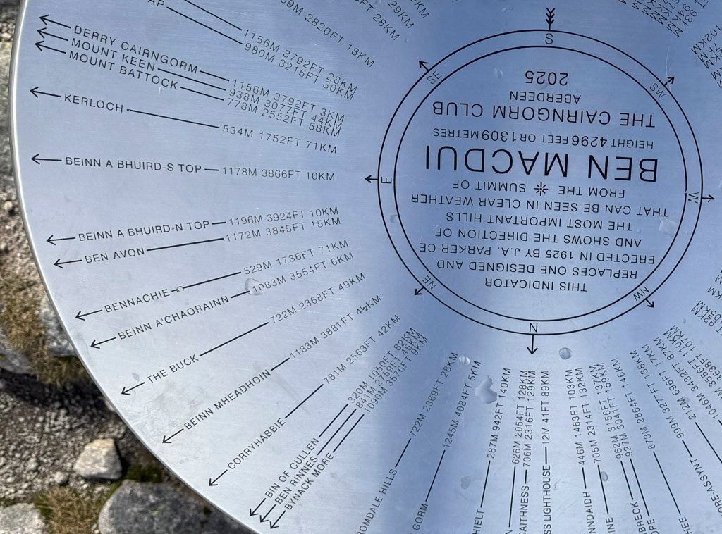
The Bennachie range is bounded to the south by the River Don and rises from the bucolic Aberdeenshire landscape in relative isolation, which elevates the hills as a viewpoint, contrasting the pastoral local scene with the distant heights of Ben Rinnes, Ben Macdui and Lochnagar.
Bennachie is owned by Forestry Scotland and trees cloak the lower slopes of the hills up to around the 1000ft contour. The forest was originally dominated by commercial timber species such as Sitka spruce, although it is now increasingly being managed for greater diversity, with native woodland restoration and the protection of open heathland becoming more of a priority. These days, public access and health along with forest biodiversity and environmental quality rank higher than timber production.
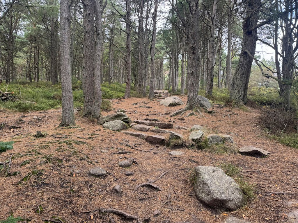
Being solitary, Bennachie can be approached from all directions, although there are four major car parks around the perimeter providing a wide range of walks for all abilities, many of them being waymarked trails for the benefit of the general public. The main visitor launch pad is the Bennachie Visitor Centre, maintained by a charitable trust.
There are seven named Taps of Bennachie – plus the outlier of Millstone Hill to the south – although Mither Tap and Oxen Craig are the two principal heights, both in terms of altitude and popularity. Most walkers are content to simply climb Mither Tap alone, or just these two highest summits, although there is merit in pursuing the broad ridgeline further west over Black Hill and down to the road intriguingly named My Lord’s Throat. However, somewhat underwhelmingly, the throat actually refers to a narrow gorge and the “My Lord” could well have been a former Lord Forbes, whose estate borders it.
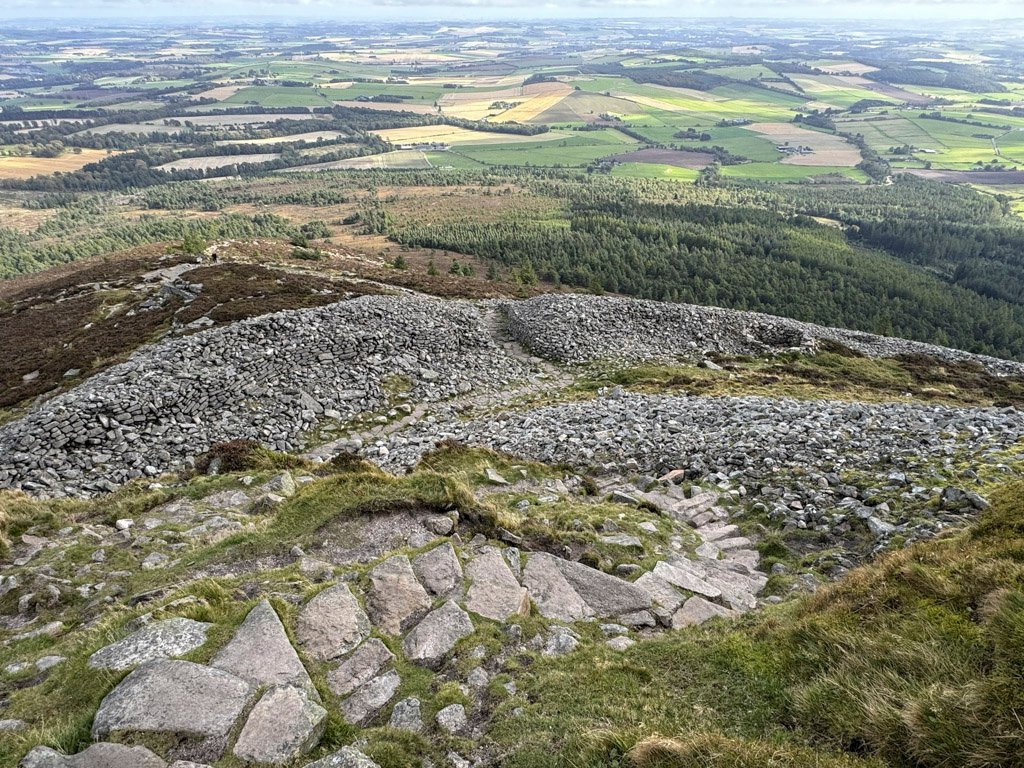
Mither Tap
This is the most prominent tap, its name being Scots for Mother Top, and it is a place of concentrated interest. The Tap stands at 1699ft (518m) and occupies the eastern edge of the range. The summit tors fall precipitously to the west, providing a natural defence that was exploited by a fort principally inhabited during Pictish times, whose substantial stone ramparts enclose the eastern flank.
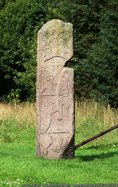
For those making the ascent from the Rowantree car park to the north, they do so from beside another, smaller but possibly contemporary fort – Maiden Castle – which is close to a further Pictish relic, the finely sculpted Maiden Stone. The path upwards follows what may have been a paved road called the Maiden Causeway. Whether this road was a direct link between forts is not known, although early OS maps depict the causeway as linking to a ring around Mither Tap fort.
Nevertheless, all these Maidens certainly ignited the conjurers of folklore, who invented many legends, although ignored the possibility that Maiden may in some cases derive from Mae-den, simply meaning a castle on a rock or hill.
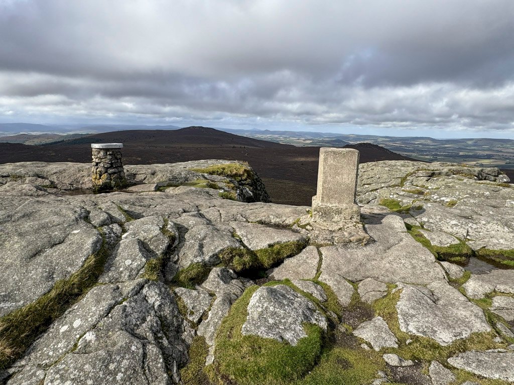
The summit of Mither tap is a fine, lofty prominence adorned with an original Ordnance Survey primary triangulation pillar dating from 1936, and a circular stone column view indicator designed by pupils from Inverurie Academy in association with the Bailies, and erected in 1974.
Between the two monuments, inscribed into the stone on the ground, are the initials AD 1858 BPLE. This tells a more sombre story. It is one of several boundary marker inscriptions on Bennachie, whose initials indicate surrounding parishes. Up until 1859, the hill was common land, populated by what was called a “Colony” of commoners who worked the land. However, the eight local landowners chose to claim the common land and divide it between them. They received legal approval. The colonists were forced to become tenants and pay rent, although most abandoned their homes within a few years. The event is often referred to emotively as “The Rape of Benachie” and this inscription as the “Thieves Mark”.
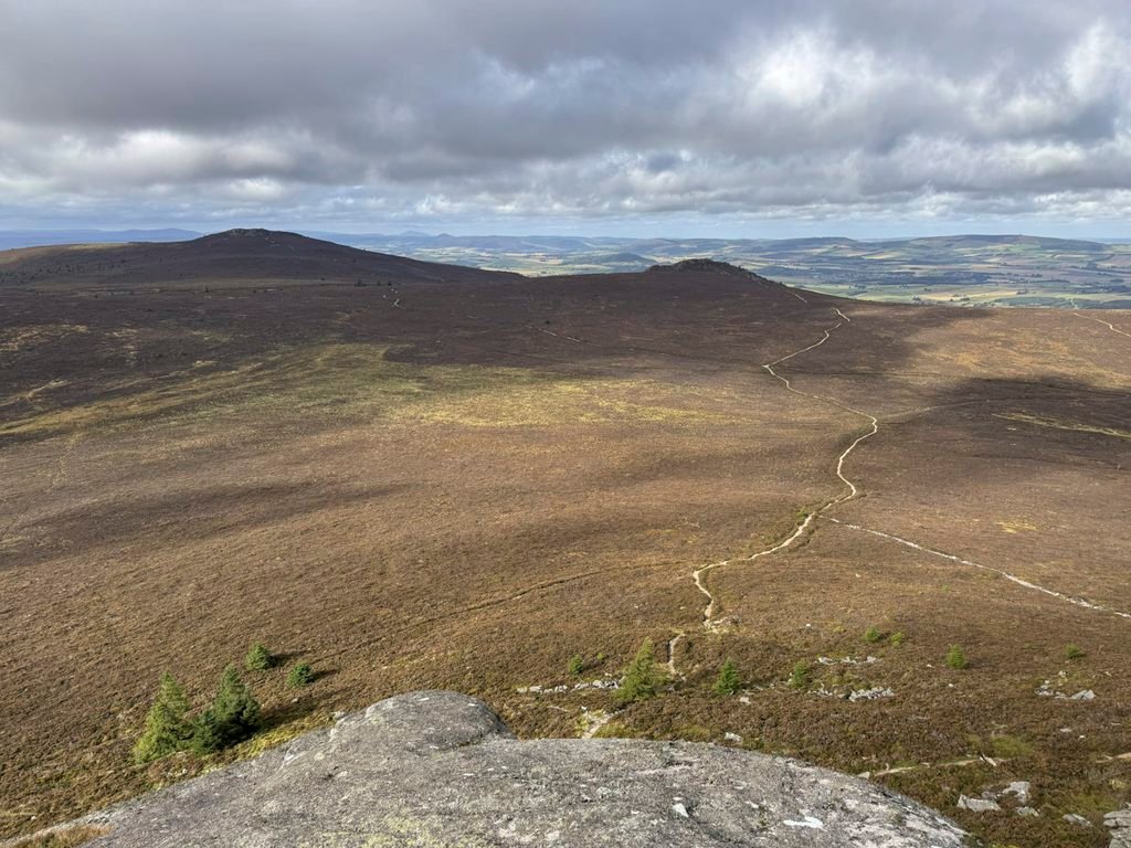
Oxen Craig
As compared to Mither Tap, Oxen Craig is a rounded hill and, as though to make it even less memorable, there is no known derivation of its name. Nonetheless, the summit lies in the centre of what really makes Bennachie special – not the tors, but the extraordinarily extensive upland heath that blankets the hills. To climb Oxen Craig is to become truly acquainted with the essential nature of Bennachie, undisclosed to the casual viewer from ground level.
This plateau is mostly populated by ling heather and was formerly a managed grouse moor, although since such activity ceased grouse numbers have declined. Between Oxen Craig and Mither Tap the trail negotiates Moss Grieve, an area of peat up to 15ft deep, which was cut for local burning up until the mid-20th century despite the remote location. There is bog land on this open moor, although the excellent paths, courtesy of the Bailies, ensure feet remain mostly dryshod.
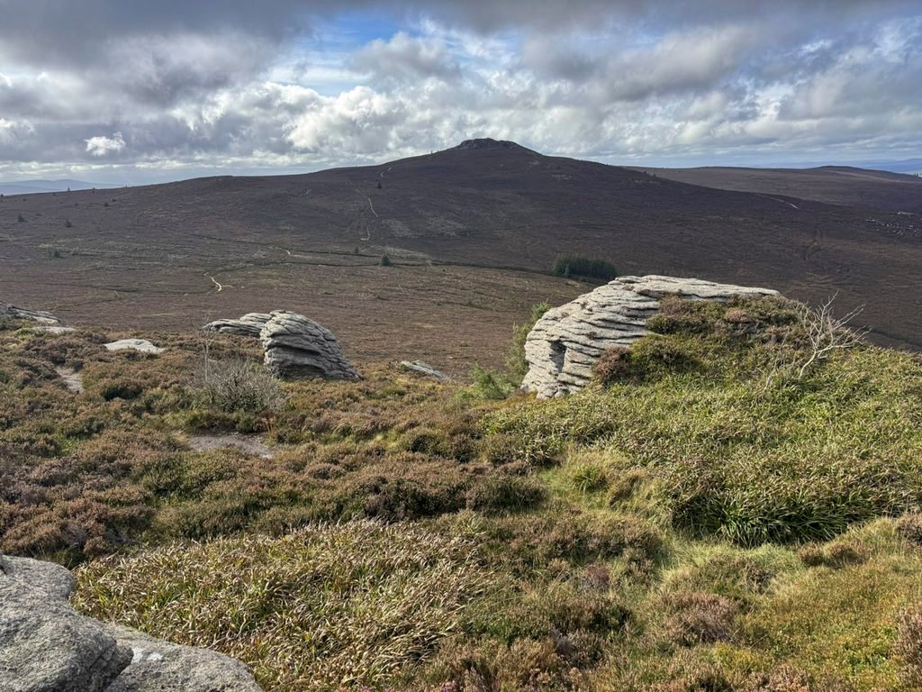
The summit of Oxen Craig is an exposed top with a scattering of granite blocks but no tors, and boasts a view indicator designed by the Bailies, which was erected in 1989.
A short distance below the top is an Aircraft Crash Memorial Cairn. There have been two military plane disasters on Bennachie, one in 1939 on the very first day that war was declared, and the other in the winter of 1952. Both tragedies occurred when visibility was poor.
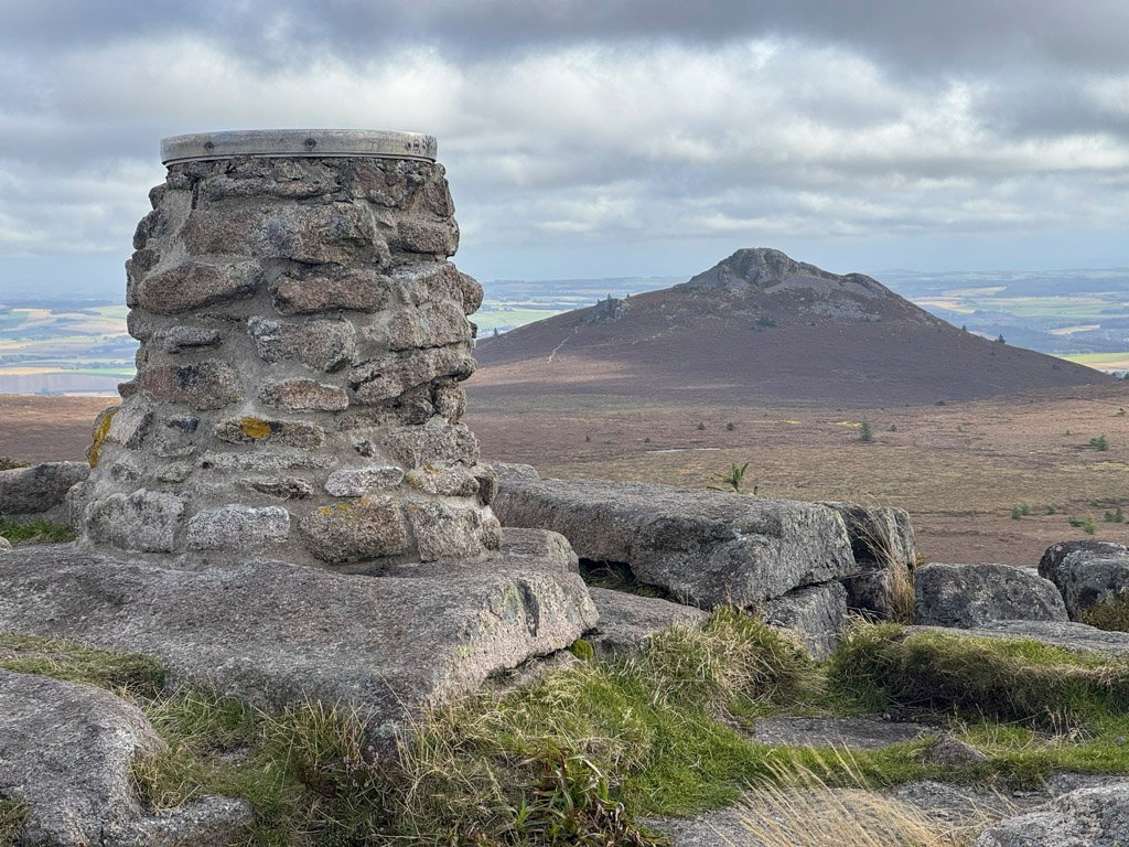
While Oxen Craig lacks the drama of Mither Tap, it benefits from its location as the nucleus of the range. This is the highest point of Bennachie, although the majority of the estimated 100,000 visitors to the hill each year will be over on Mither Tap, allowing those on Oxen Craig to quietly survey and contemplate the rare appeal of the Bennachie plateau.
Indeed, it is the unique combination of the miniature mountain of Mither Tap together with the sweeping heather heath that defines Bennachie, and is also the reason why a hill of modest altitude is so overwhelmingly cherished.
Featured Image at top of page by Stu Smith: link
Worthy Rating: 69
Aesthetic – 21
Complexity – 12
Views – 15
Route Satisfaction – 13
Special Qualities – 8