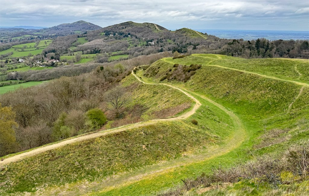
Pick up a map of the Malvern Hills and they appear insignificant; even the Ordnance Survey sheet at 1:50k displays the topography as cluttered and too condensed for significant detail. However, if you jump into the car and drive along the M5 Motorway, the genially serrated ridgeline completely dominates the scene.
Geologically, the rocks are amongst the oldest in England; culturally, the hills have provided fashionable recreation for two centuries; and scenically, the juxtaposition of a heritage town pitched beneath high ground, presents an unexpectedly harmonious picture.
The Malvern Hills comprise a remarkable twenty-one named hilltops, within just eight crow-flying miles, spanning a subtly wavering north–south axis. The current OS maps record seventeen of those tops, although some of these, notably the northern outposts of End Hill and Table Hill, were only acknowledged by them in the 1970s.
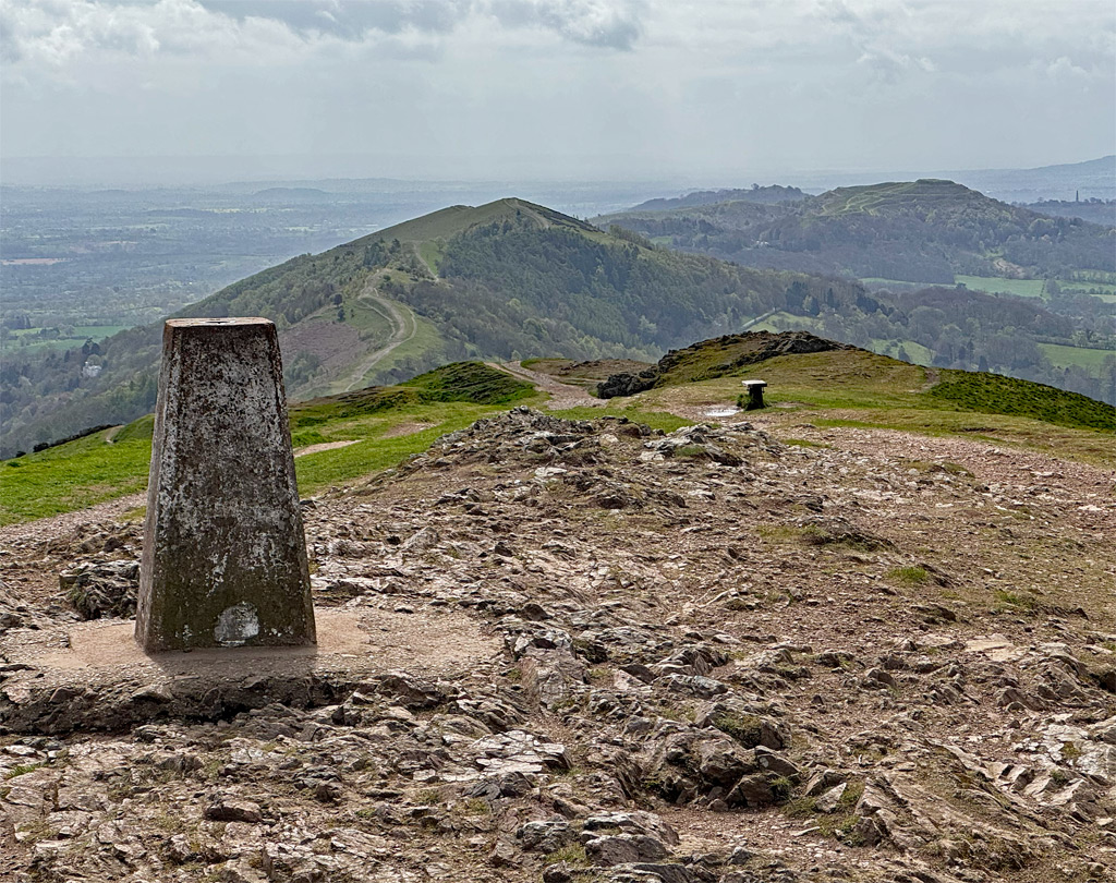
To walk all the hills in one single expedition is known as the End to End, conveniently bookended by hills with end in their name. The walk involves ten miles and three thousand feet of ascent, therefore we could playfully class it as the Malvern Munro! There are numerous variations on this walk, with many guidebook suggestions missing out some of the summits, or others not fully completing the ridgeline.
Indeed, whether a hillwalker or not, to fully appreciate the Malvern Hills, one ought to walk not just the ridge, but also stroll the elegant ‘rides’ that traverse the hillsides; one must sample the historic spring water wells; explore the Victorian ambiance of Great Malvern town, and visit the grand buildings on the peripheries, from stately homes to religious priories. However, for this feature, our eyes will remain predominantly on the hills, each and every one of them.
The two maps below display just how inadequate they are to cover what is merely an eight-mile ridge, even over a dual spread. There is definitely something unusual happening in the unique kingdom of the Malverns. The scale can be altered by using the zoom controls.
The End to End
The walk can be undertaken in whichever direction is most convenient, although my personal recommendation is taking the journey from south to north, even though the southern start is in the heart of the country and the northern terminus is amongst the houses. In general, the altitude increases from south to north and this builds a crescendo to the walk – we begin in rural simplicity and finish with pomp and circumstance. That’s a clever reference to the composer Edward Elgar, for whom these hills were a home and an inspiration. In addition, the walk is naturally divided by topography into six sections, each increasing in length as northerly progress is accomplished.
If there were an ‘official’ route, it would perhaps be that published in leaflet form by the Malvern Hills District Council (MHDC). This can be downloaded at visitthemalverns.org, however, their walk does not include all the summits and contains one directional error. Our route is for the purist, in effect a Malvern Worthy Way, so we will visit all tops along the natural line, from End to End, and include options for outliers.
Section One – Beginning the chase from end to end
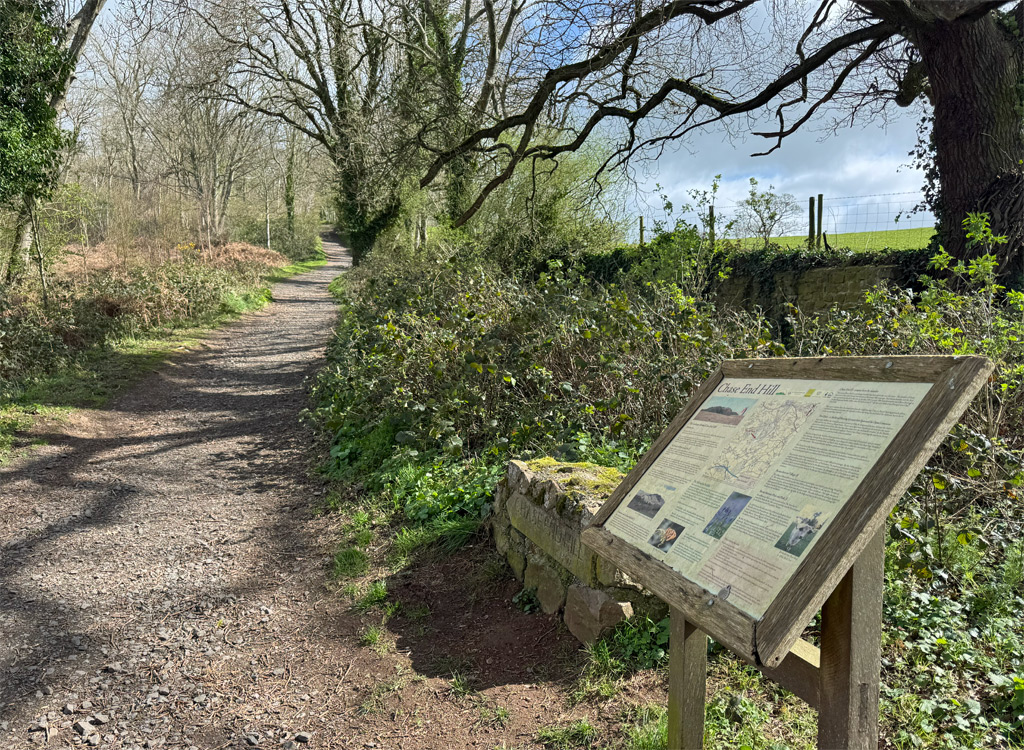
The southerly rise of the hills occurs at the foot of Chase End Hill, where there is a small car park, though usually a reasonably quiet one. This is more dog walker than tourist country. As a pleasant extension, a walk through the Bromesberrow Estate can be tagged on, affording a fine view of the Regency Bromesberrow Place, from the public footpath. Otherwise (and probably, considering how far we have to go), our route leads without preamble onto Chase End Hill. Just follow the main path as it rises and sweeps round onto a lovely open ridge, a taster of what is to come. All too soon, the summit is reached. Chase End Hill is the lowest of the range at just 627ft (191m), although it feels much higher, and the views are excellent.
The Malvern Hills are a designated National Landscape (formerly Area of Outstanding Natural Beauty) and, in 2009, the authority commissioned a study to identify fifty key views from and around the hills for promotion and protection. Ten of these were considered to be exceptional and Chase End Hill is one of those. Incidentally, it was this AONB survey that identified the named hills that comprise the generally accepted compass of the Malvern Hills.
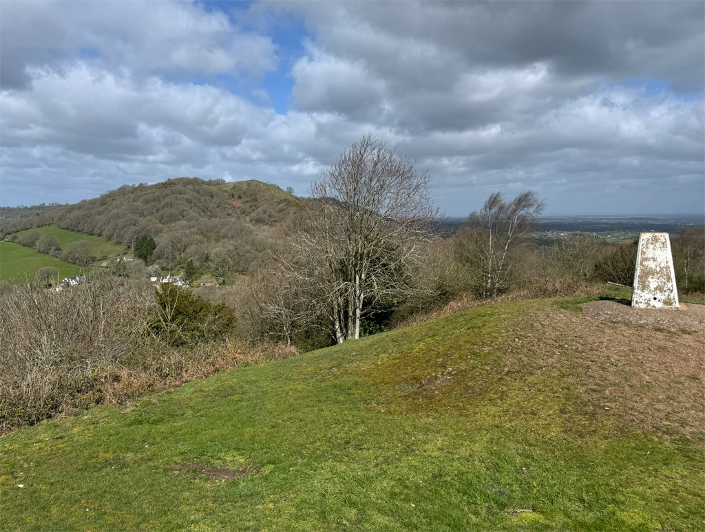
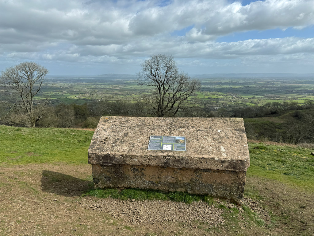
Adding to the charm of the Chase End summit experience is a trig pillar; one of two that the Ordnance Survey chose to site on the Malvern Hills; one here on the lowest top, and the other on Worcestershire Beacon, the highest summit.
We drop steeply left by the trig, then join a track that can be muddy in its lower parts, and thence to the first (very quiet) road crossing. One thing about the Malvern ridge is that mud is customarily quite rare, except in the wooded parts.
Section Two – It’s short and sweet, so don’t miss it
At this point, there is an error on the MHDC route, although it’s an obvious one. At the road we turn right (not left). Inexplicably, the MHDC route then bypasses the next hill, Ragged Stone Hill, but we won’t, certainly with such a fine descriptive name that has inspired a novel, a poem and a song. So continue into the hamlet of Whiteleaved Oak, where an oak with white leaves once grew (I kid you not, although it was probably diseased).
Ignore the first left (where the official route goes) and continue around the slight bend, then fork left, up past a cottage to enter the woods and climb onto the hill. This soon steepens before the summit. We are now at 833ft (254m) on Ragged Stone Hill west top. Ragged Stone (east top) is just a few paces to the right, four metres lower and with barely any prominence, yet it is a named hill as identified by the AONB survey, although to claim individuality in its own right is rather an exaggeration.
We descend directly, on a splendid grassy path to meet that which bypassed Ragged Stone Hill, and follow it to the A438, the second of four road passes that cross the Malvern Hills. This one is incrementally busier than the first. Go right a short distance to the car park. Being larger and easier of access than parking at Chase End, some End to Enders, using two vehicles, choose to leave one of them here and make a circuit of the southern terminus of the walk, utilising the low-level path.
Section Three – Where we encounter a bus shelter on top of a hill
Hollybush Hill comes next, which is merely a spur of the main Midsummer Hill, and an unnamed spot height on OS maps, with a prominence of just fifteen metres. Nonetheless, it is notable for being an integral part of the Iron Age hillfort that encloses both these tops. However, the archaeological interest has become rather submerged in undergrowth, and for all but the most ardent peak bagger, the prospect of Hollybush Hill from Midsummer Hill will be sufficient. Therefore, simply go through the metal gate in the car park and straight up, climbing steeply through the woods to Midsummer Hill.
The hillfort is impressive, with obvious ramparts circumnavigating the conjoined hills. The history is unclear, although evidence points to construction around 500 BC and abandonment due to a fire in AD 48. An astonishing 483 hut platforms have been identified, equating to a population of over 1,500 people, although there are few indications of permanent infrastructure, such as internal trackways or burial places, and some suggest the fort may have been used principally for seasonal markets and events. To counter this, a pillow mound can be discovered for those closely examining Hollybush Hill; a low earthen hill designed as a warren for rabbits to provide meat.
On Hollybush Hill, another earthwork feature can be observed by the archaeologically informed, the Shire Ditch. For most of us, it will become better formed later on the walk. For centuries, the ditch was thought to be a boundary created, in 1287, for the Earl of Gloucester, known as the Red Earl, following a territorial dispute with the Bishop of Hereford, the neighbouring landowner. There is much folklore suggesting the Earl devised a devious design to encourage the bishop’s deer to wander onto his land. However, it was recently realised that the hillfort appears to be built on top of part of the ditch, which suggests that a pre-existing, prehistoric dyke of some kind already existed, potentially a Bronze Age boundary, and the Red Earl merely incorporated it into his construction.
Descend from Midsummer Hill, keeping left on the main path to meet a substantial track running through the Eastnor estate. This track is, briefly, the course of two long distance footpaths; The Geopark Way and the Three Choirs Way. The former runs for 109 miles from Bridgnorth in Shropshire to the city of Gloucester. It does not follow the entirety of the Malvern ridge, just enough to include some of the striking Precambrian geology of the very northern spine, then it wanders off to Ledbury before returning for the final southern hills. The Three Choirs Way is almost as long at 100 miles, and was devised to link the three cathedrals of Gloucester, Hereford and Worcester.
Section Four – An optional obelisk and a fort worth fighting for
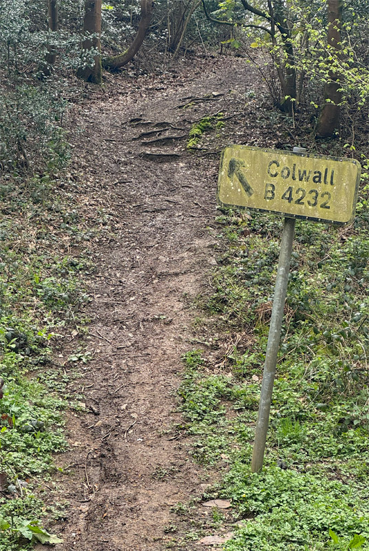
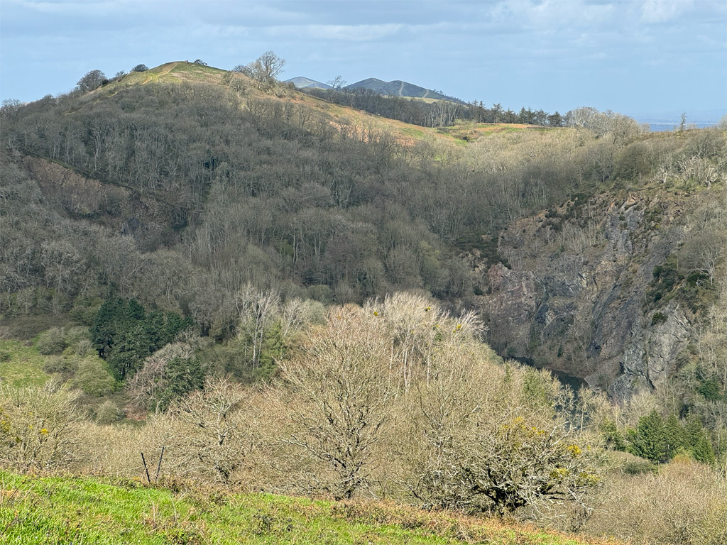
Upon meeting this track, we follow it to the right. Hereabouts, the topography becomes marginally confused by the deep valley of The Gullet, additionally blurred by extensive woodland. It is the one part of the End to End that doesn’t feel like being on a defined ridge, mainly because it isn’t! To regain the continuation of the ridge, one must curve around this breach. Further emphasising the depth of The Gullet is a huge quarry face, a cross section of geology covering some 250 million years from the Precambrian to the Silurian, although even the latter is still well over 400 million years old.
Quarries abound on the Malvern Hills, initially worked on a small scale until the coming of the motor road, and the rock’s suitability for roadstone led to massive exploitation. The hills became a scene of horrendous desecration. It took several acts of parliament to eventually put a stop to blasting, with the Gullet being the last to close in 1977. Many of the quarries have been landscaped to reduce the impact and many are used as convenient car parks.
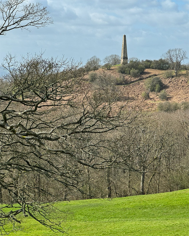
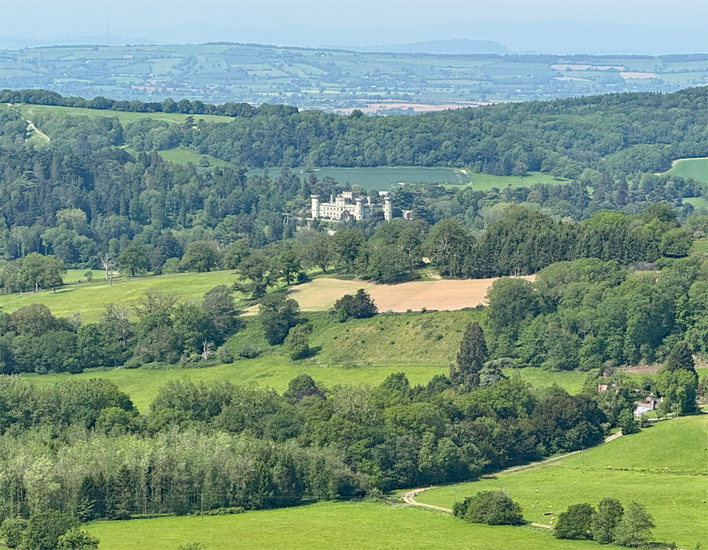
It is at this point that a minor diversion can be taken to visit the slender stone obelisk on the Eastnor estate that has been in view for some time, although it has looked to be completely off route and the thought of visiting will have seemed unlikely. However, due to the surprise loop to avoid dropping into The Gullet, the obelisk is only five minutes away. Again, this is merely an unnamed spot height of 242m on the map, although its prominence is a healthy 36m. The AONB survey did not include this as a named hill, although it does have a name, which unsurprisingly, is the eponymous Obelisk Hill.
If you choose to visit the Obelisk, there is a short cut to re-join the usual path, by forking off left after around 200m, to then pass the Edwardian Peacock Villa, which serves as a holiday cottage on the Eastnor estate. Then keep straight on, ignoring side tracks, and water hazards created for Land Rover experiences, until the main path is once again reached. Turn left here and, shortly after a cattle grid, the path goes right to regain the welcoming ridgeline, prior to a gentle stroll over Swinyard Hill.
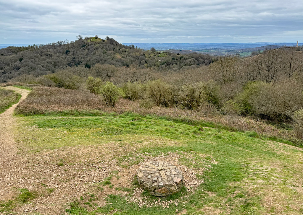
It will have already become apparent that the hilltops, throughout the spine of ridge, are free of trees, thus providing clear views, something which immensely enhances the enjoyment of the End to End. This enlightened and deliberate action is the result of the policies of the Malvern Conservators, a body established by Parliament in 1884 to protect the hills from ‘acts of encroachment’ (not necessarily by trees). The Conservators are a charitable body of unpaid volunteers, who now operate under the name of the Malvern Hills Trust.
After a brief descent into the woods, look out for a right turn on the path signed Hangman’s Hill. Take this, as the left path keeps below the crest and provides inferior views. Once out in the open, the Shire Ditch is clearly seen, and followed over Hangman’s Hill (no definitive derivation of the name) and Broad Down (no spot height marked on the map).
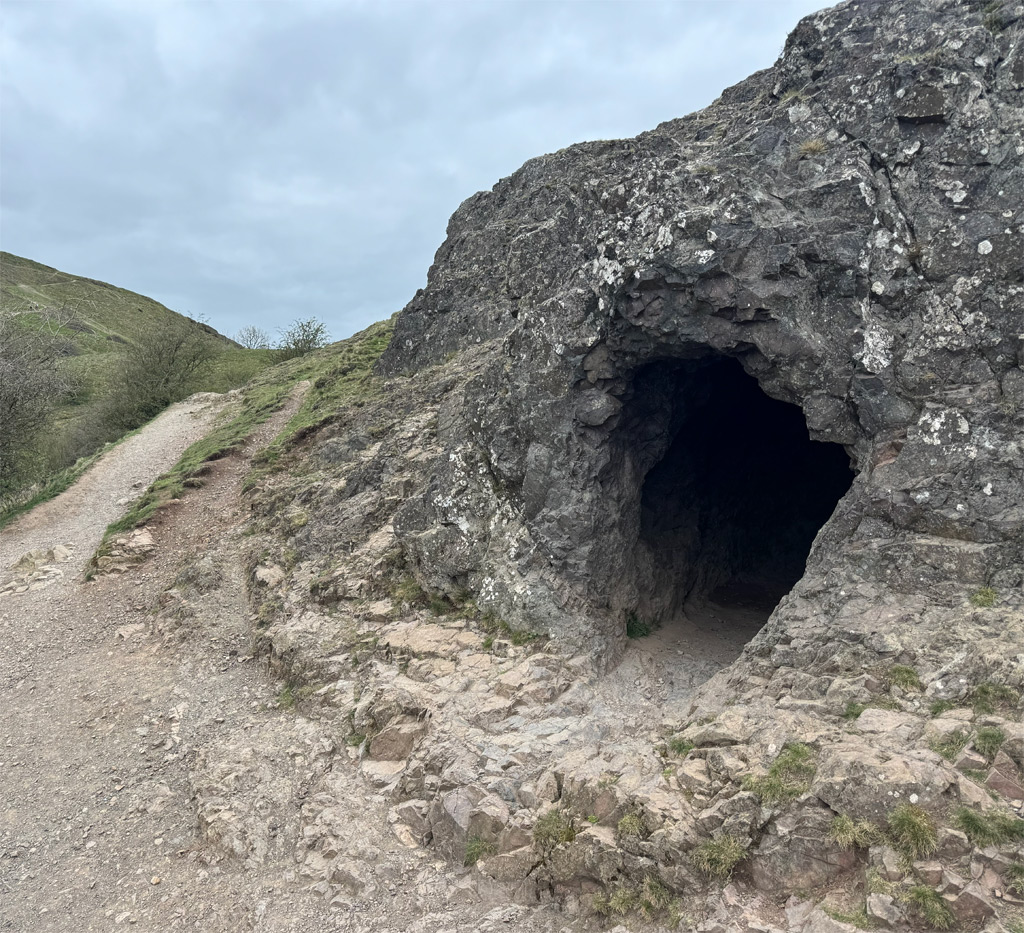
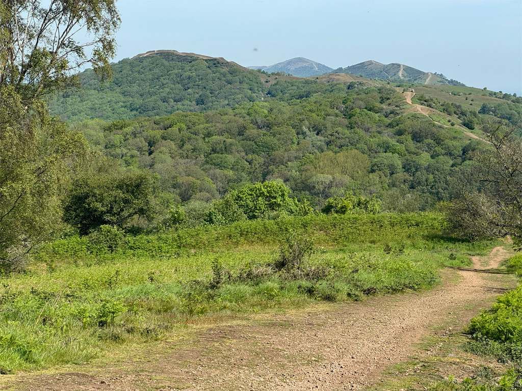
From Broad Down, the unmistakeable outline of a hillfort exerts its presence, again circumnavigating two hills, and again being a multivallate fort, meaning that it was built with several layers of defensive rings. It is known as British Camp and is older and larger than Midsummer Hill, although it is intriguing to place two large forts so close together. Archaeological evidence has only revealed medieval activity, when it is thought a castle stood here, making use of the existing, prehistoric, fortified site.
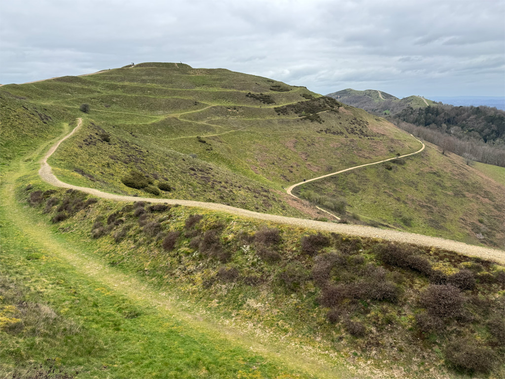
The southern terminus of the fort is accessed by a pitched path onto Millennium Hill, a height previously unnamed until the year 2000, when the Malvern Conservators chose this act as a celebration of the occasion. For the first time on the walk, we rise above the 1000ft contour, although the hill is merely a spur of the main summit, Herefordshire Beacon, to which we gaze in wonder at the convoluted jumble of earthworks, probably carved out by rudimentary tools such as deer antlers.
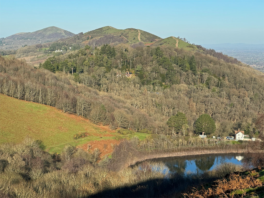
Looking to the east, a reservoir can be observed, occupying a high hollow. At one time, this was the major water supply for Great Malvern. It was opened in 1895, although due to its limited catchment area, the shallow reservoir soon proved inadequate. In 1902 it actually dried up. Forming the northern bank of the reservoir is Tinker’s Hill, bizarrely one of those identified by the AONB, although you will struggle to recognise it as anything other than an area of fairly level, wooded ground. It is also unlikely that you will bother to descend off the main ridge to tick it off.
Back to the Herefordshire Beacon, which is probably the most distinctive of all the Malvern Hills, mostly due to the hand of man. Despite its prominence, the hill only reaches 1109ft (338m). Nevertheless, it really is an extraordinary sight, which helps to make it probably the most climbed of the hills, even more so than Worcestershire Beacon, almost 300ft higher. Nevertheless, the major reason for its attraction is the large, high level car park just beyond at Wynds Point.
Due to the high footfall, a stepped path has been created, although to enjoy the best of the hill, ignore this when descending and explore the ramparts instead, keeping on the grass rather than following the staircase in the company of the hordes. Half way down the routes converge for the last stretch to Wynds Point.
Section Five – Malvern’s very own spine of the dragon’s back
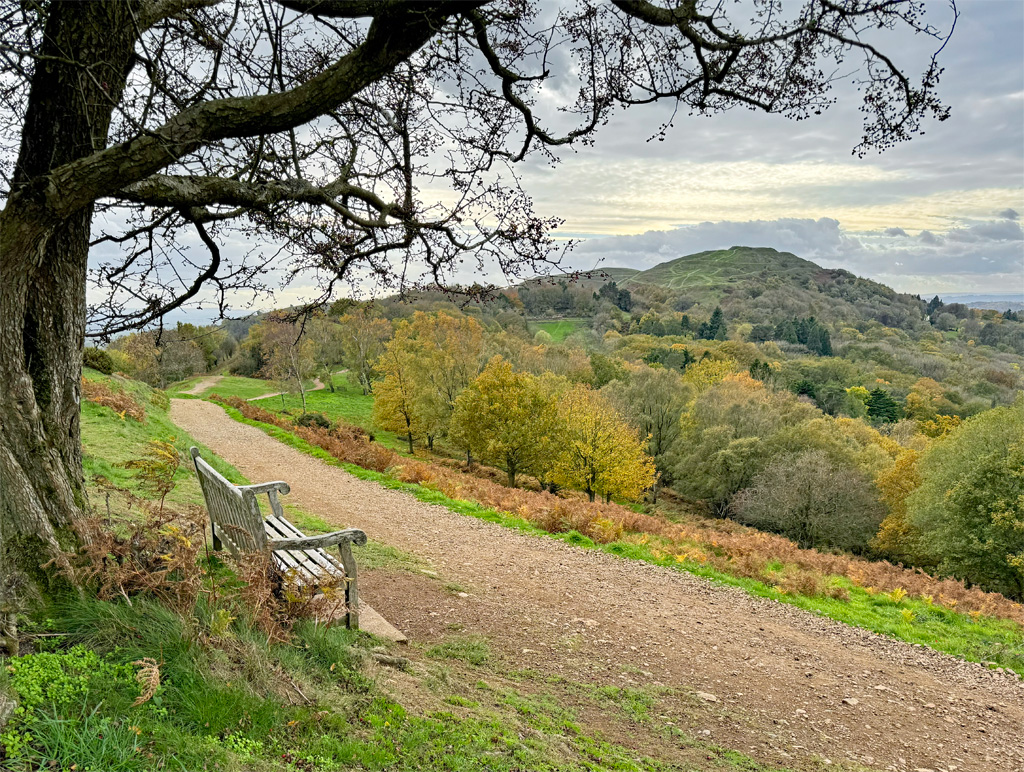
The northern half of the ridge from Wynds Point marks a change, not only because you will see more people, but also because you will see more houses, as the settlements around Malvern become visible. Nonetheless, there is a curious fascination looking from high upon the domesticity of everyday existence.
We cross the A449 road, the major crossing of the hills, and walk in front of the British Camp Hotel, onto a minor road that traverses the hills. It is known as Jubilee Drive and was originally laid out as a scenic carriage ride to commemorate Queen Victoria’s Golden Jubilee in 1887. Just beyond the hotel, the path escapes up to the right to rejoin the ridge.
This is the penultimate section of the walk and includes six tops over two miles, the first presenting itself immediately as we arrive on the ridgetop. This is Black Hill (south) and on the map is an unnamed spot height of 270m. The whole section from here to Wyche Cutting is utterly delightful, with the opportunity to maintain a high course, accompanying the Shire Ditch, on the rocky spine that is as narrow as it gets in the Malverns. The tops fall in quick succession; Black Hill (north) and Pinnacle Hill (the highest on this section) lead to Jubilee Hill, not named in conjunction with the road below, but for the late Queen Elizabeth II’s Golden Jubilee in 2002. As with Millennium Hill, this was a commemorative idea by the Malvern Conservators. And to repeat the celebration, the Malvern Hills Trust added a plaque on the hill to commemorate the Queen’s Platinum Jubilee in 2022.
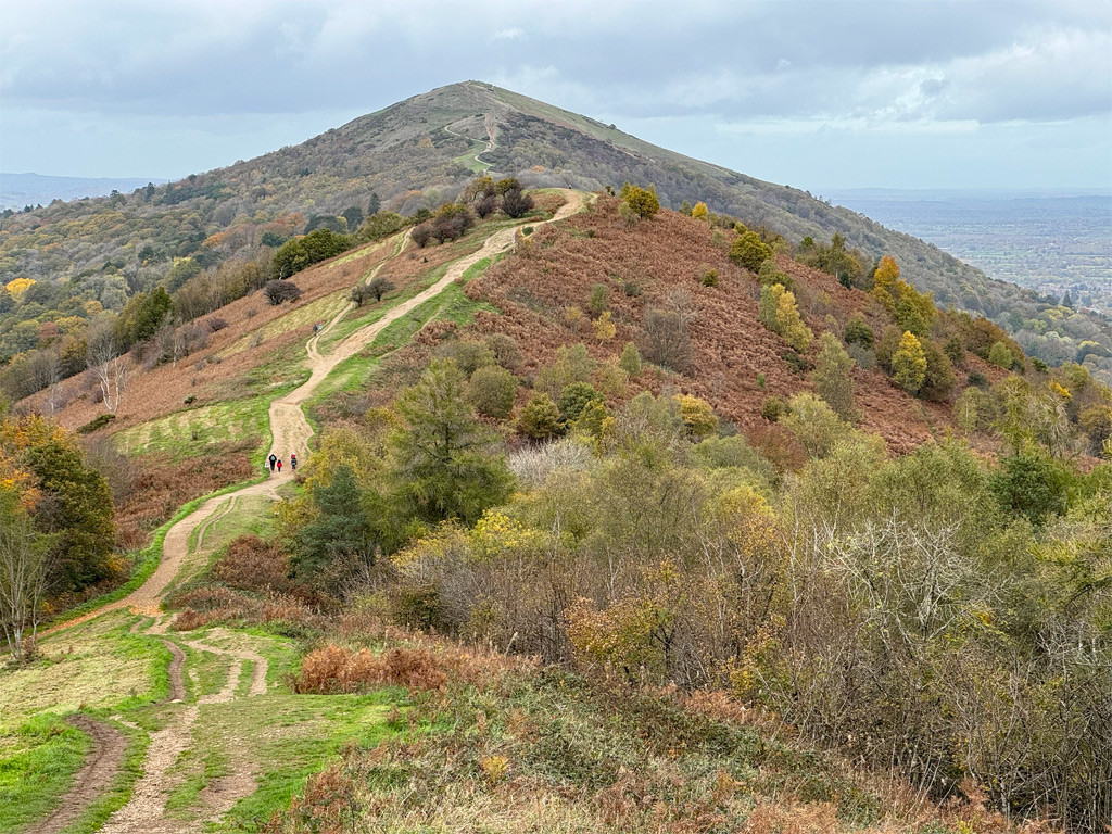
Cast your gaze east, where the Three Counties Showground occupies the flat lands beyond the settlement of Malvern Wells. In the woods at the foot of the hill is Holy Well, the earliest of the many Malvern springs to be promoted for health cures. It also became the site for commercial bottling by Schweppes in 1856. Production later moved to Colwall, although this ceased in 2010, when the plant could not produce sufficient supply to keep up with modern demand. However, Malvern water is still bottled at Holy Well on a small scale, in addition to being freely available to passers-by with their own bottles.
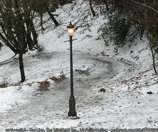
Malvern spring water is the principal reason the area prospered during the Victorian era and paths on the hills were developed as recreation for high society, as temporary (and no doubt blessed) relief from partaking of the fashionable water cures of the period (see below). The peculiarity of Malvern water is that it is not mineral water, in fact the hardness of the underlying rocks results in no mineral content at all. It is totally pure. In those deluded Victorian times, water was customarily required to taste, and smell, absolutely awful for it to be of any curative value, the vile nature usually the result of high sulphur content.
People flocked to Malvern to imbibe the water, although for businesses to prosper, the practice of hydrotherapy expanded. In particular, Malvern was famed for what was called the Descendant Shower. This involved standing naked for three minutes under the fall from a hogshead of icy water (52 gallons), suspended twenty feet above. It was claimed to leave the recipient “as warm as toast, as red as a lobster and shining like a new guinea”. Patients were awoken at 5am, wrapped in wet towels for an hour, before long walks were taken prior to breakfast at 8am. However, before breakfast, it was important to have consumed at least eighteen glasses of spring water.
There were other treatments too, including the Ascendant Shower, which perhaps requires no further explanation!
Onwards, over Perseverance Hill, which has no known derivation, although perseverance was certainly required, six hundred feet directly below where you are standing, when a railway tunnel was dug to link Malvern to Ledbury, particularly when the navvies encountered the hard Precambrian rock, and barely six inches of progress each day was achievable. After completion, the tunnel remained beset with difficulties and was later replaced by a second tunnel. The original remains unused except by large colonies of bats who hibernate there over the winter.
Section Six – The highest of many high points
We cross a road for the fourth and final time at Wyche Cutting (pron. witch) to commence the final section, which is the longest and ascends the loftiest hills, with far reaching vistas, and a sense of elevation far exceeding their still relatively modest altitude. This impression of space is engendered by the open aspect and its attendant freedom to stride over the bare summits. Indeed, the name of Malvern itself may well derive from Moel Bryn, meaning Bare Hill, thought originally to been applied solely to Worcestershire Beacon.
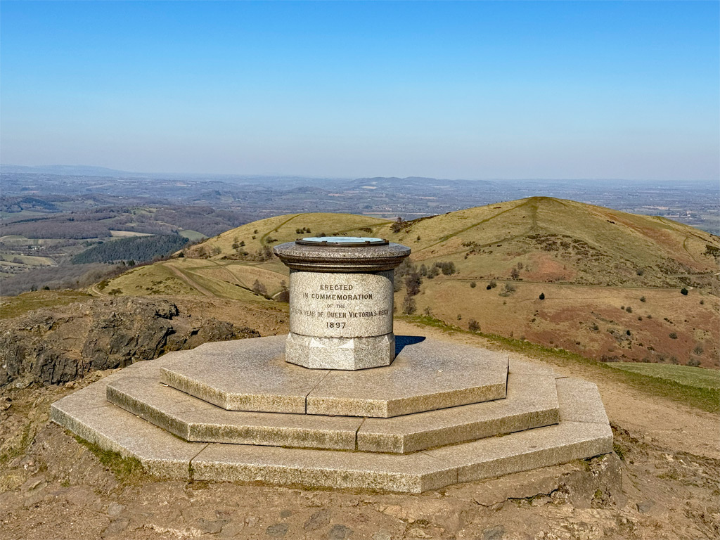
Once again, route finding is straightforward as we stick rigidly to the spine of the ridge, crossing Summer Hill before attaining the main summit. Here is found a trig pillar that is usually ignored in favour of the grander toposcope, the latter erected for Queen Victoria’s Diamond Jubilee in 1897. Tragically, its brass plaque was stolen in 2000, although a replica was quickly installed by the Conservators. However, a year later, a tip off to the police saw a house in Walsall raided and the plaque returned to the safe keeping of the Conservators.
Close by, a summit café formerly thrived, although this burned down in 1989 and could not be rebuilt due to strict planning regulations. To bolster tourism, in 2015, there was a proposal to construct a cable car to the summit from Great Malvern, although this was refused by the Conservators. Before that, back in 1869, plans were put forward for a funicular railway that never came to fruition. It’s clear to see the pressure of tourism on these hills over time, and we are fortunate that they have survived relatively unscathed.
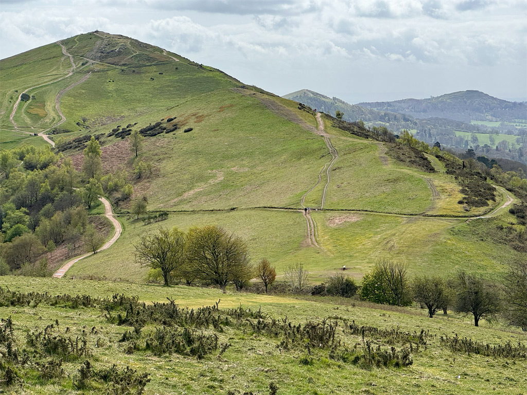
Let us return to strolling these heights, whose rocks date back almost 700 million years, having been thrust up along a faultline around 300 million years ago. They rise in distinct contrast to the surroundings; to the east is the rolling country of Herefordshire, gently rising towards the Black Mountains, and to the west, the flat Severn Plain sweeps placidly towards the Cotswold Hills.
We peer imperiously down to Great Malvern, a living textbook of Victorian architecture, although more ancient buildings are evident. There was much monastic settlement in the area, and Malvern Priory is particularly impressive. It was lost to the dissolutions but not destroyed, having been purchased by the townsfolk to replace their own dilapidated wooden church. It must have seemed very grand indeed for such a small community.
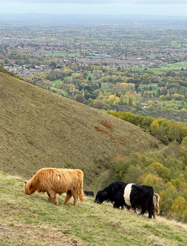
Upon these northern hills are a number of temporary fences, which have been erected by the Malvern Hills Trust to control grazing stock as a natural scrub management plan. Much of the area is common land, dating from the medieval days of Malvern Chase, although few Commoners exercise these rights in modern times. While the land was granted to nobility, royalty retained rights, something exploited by Charles I, who raised funds by enclosing a third of the chase. In addition to the Shire Ditch, still doggedly accompanying us, there are other banks and ditches that marked the boundaries of this enclosure from the 1630s.
As we look north to the final, shapely tops, the hillsides are raked by paths, many of them contouring rather than ascending to the summits. The most substantive are ‘rides’, which date from the Victorian heyday, when gentry would be carried by ponies. A young Princess Victoria rode a pony here on a childhood holiday in 1830, which afforded a royal seal of approval and boosted popularity. A splendid example of a ‘ride’ is Lady Howard de Walden Drive, created for one of the country’s wealthiest society ladies. It circles around the eastern half of North Hill. In fact, by utilising these rides and other paths, it is possible to complete the End to End without ever setting foot on a summit.
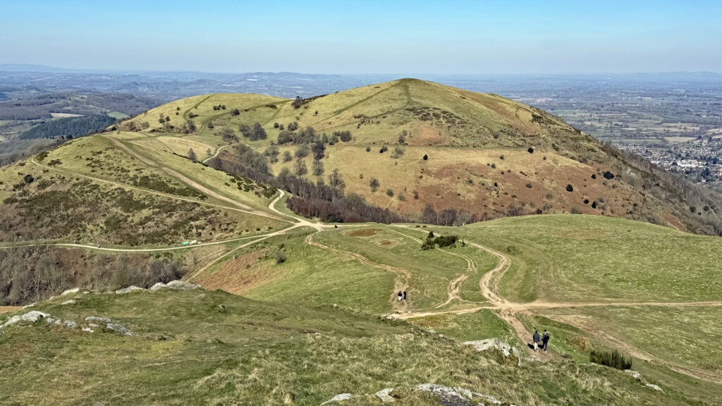
North Hill is the principal finale, although it is surrounded by the less significant summits of Sugarloaf Hill, Table Hill, and the last hurrah, End Hill. Indeed, many End to End route suggestions avoid End Hill, or at best, summit the hill then double back down through Rocky Valley to the North Quarry; or they cut back around to Great Malvern. This is purely for transport convenience.
Nevertheless, End Hill is just that, the end summit, however minor, and after coming all this way, it does seem a pity not to follow the natural line to its completion. It certainly feels like a terminus and the descent is surprisingly steep, until a larger traversing path is reached. Turn right here and this begins to descend in a loop, emerging from the woods into the unsettling arrival of civilisation. But what a rollercoaster walk this has been!
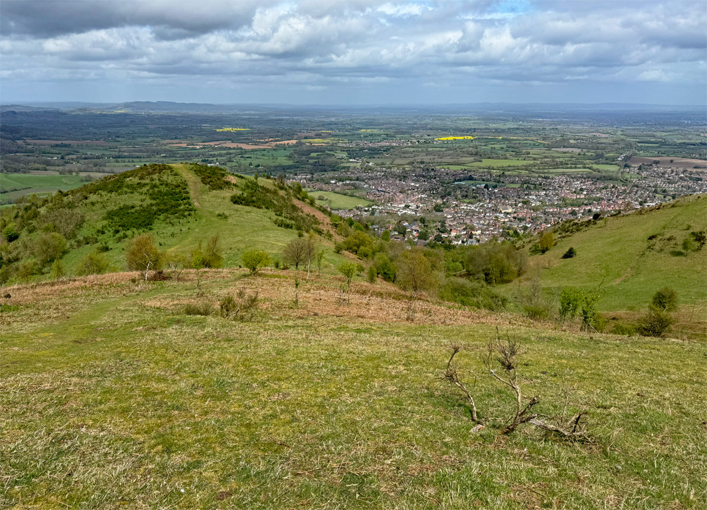
Malvern Hills Worthy – summits selected:
Chase End Hill – 627ft (191m)
Ragged Stone Hill – 833ft (254m)
Midsummer Hill – 932ft (284m)
Herefordshire Beacon – 1109ft (338m)
Pinnacle Hill – 1171ft (357m)
Worcestershire Beacon – 1395ft (425m)
North Hill – 1302ft (397m)
Worthy Rating: 74.5
Aesthetic – 22.5
Complexity – 13
Views – 15
Route Satisfaction – 16
Special Qualities – 8
A Fascinating and incredibly well researched piece, of a range I only first visited in 2025. I have returned twice since!
Thank you kindly Adrian. The Malverns certainly appear to have captured your attention!